Array Labs
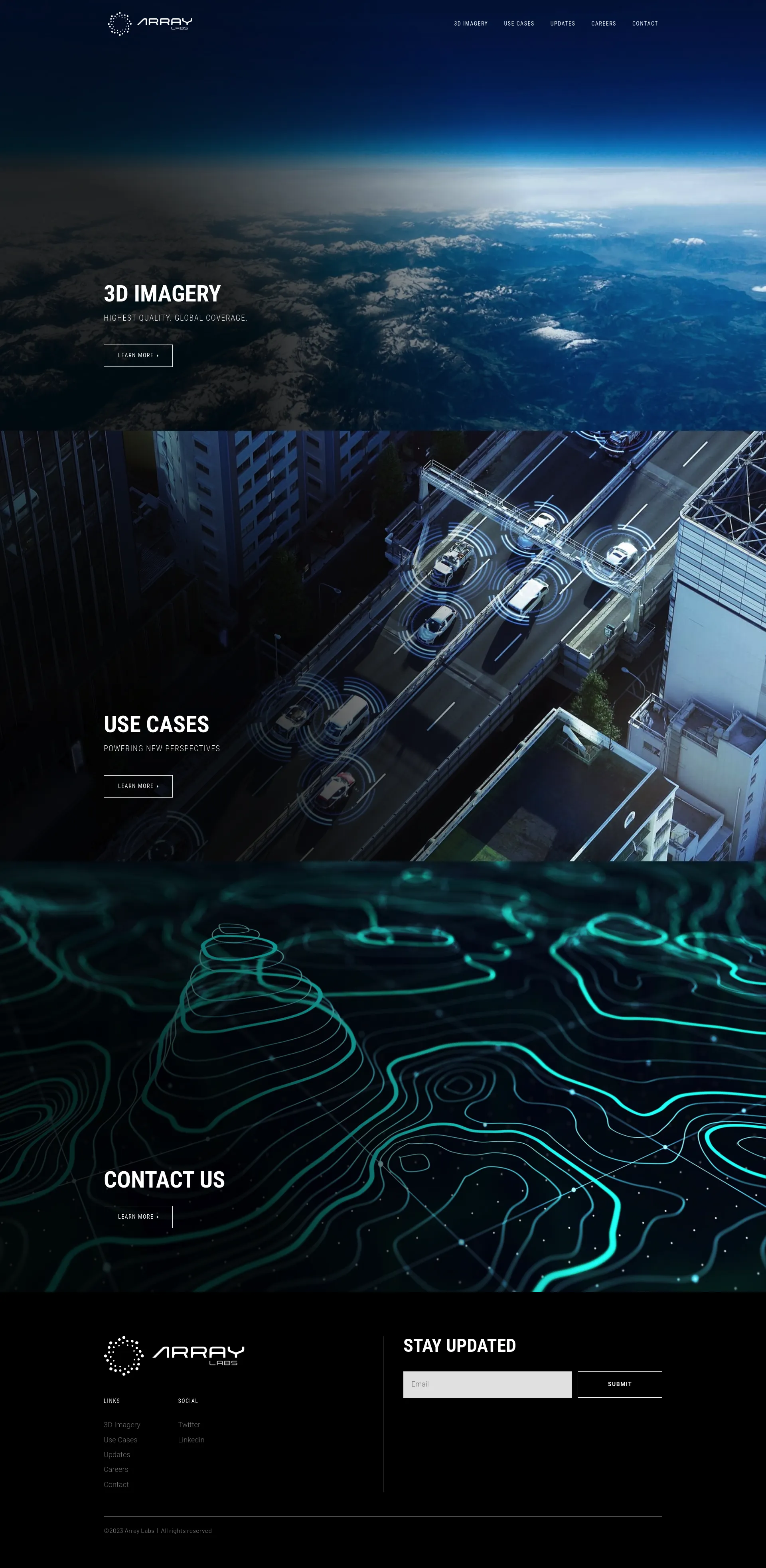
Array Labs provides the highest quality, globally-covered 3D imagery, enabling businesses to enhance decision-making, analyze trends, and develop new products.
Product Highlights
- High Resolution: Array Labs imagery boasts high resolution, providing clear and accurate details.
- Global Coverage: Array Labs offers global coverage, giving businesses a comprehensive view of diverse environments.
- Ease of Use: Array Labs imagery is easily accessible and utilized for a wide range of applications.
Use Cases
- Urban Planning: Array Labs imagery can be used to create 3D models of cities, aiding in urban planning optimization.
- Retail: Array Labs imagery can be used to analyze store traffic flow, contributing to retail sales improvement.
- Agriculture: Array Labs imagery can be used to inspect crops and identify irrigation needs, leading to enhanced agricultural production.
Target Audience
Array Labs targets businesses that require precise geospatial data for decision-making purposes, such as companies operating in the fields of urban planning, retail, and agriculture.

