Categories
Aerial Measurement Related Products
Cloud Monitoring
Monitor your applications and infrastructure with Google Cloud's powerful monitoring platform.
Cloud Monitoring

Instore Activation
Engage trade marketing campaigns more effectively with AR
In-Store Experiences

Testbirds
Get real user insights to optimize your digital products.
Crowdtesting

Resolve
VR simulations for operations, maintenance and construction teams.
Construction Simulation


GazeHawk
Eyetracking using webcams.
Eye Tracking
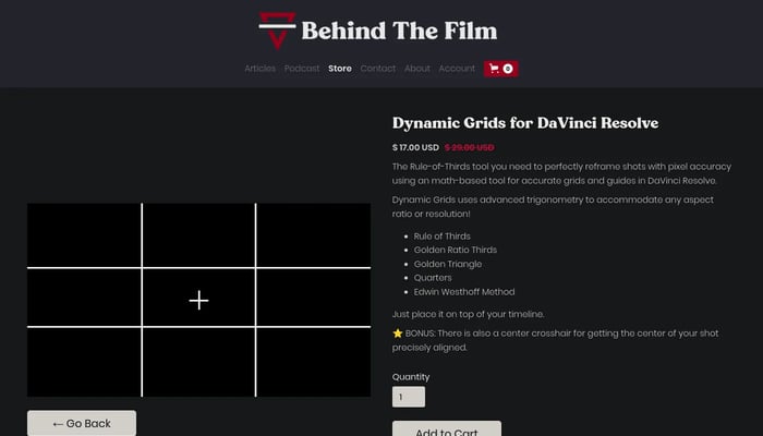

Dynamic Grids for DaVinci Resolve
Elevate your compositions with pixel-perfect grids and powerful framing tools.
DaVinci Resolve Plugins
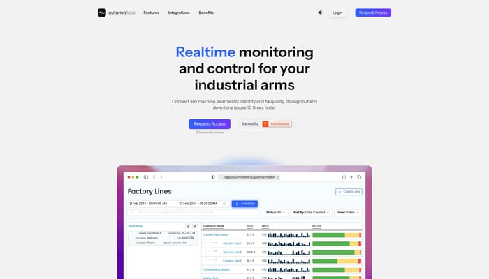

Autumn Labs
A platform to monitor and manage industrial robots and test stations.
Robot Monitoring
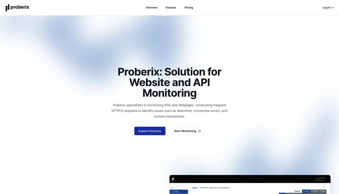

Proberix
Website & API Uptime Monitoring Service
Website Uptime Monitoring
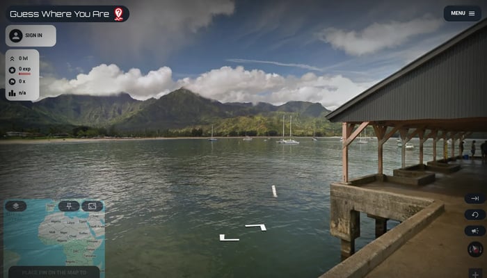

Guess Where You Are
Guess the location from street view images, explore the world!
Geography Game


Stage Hunter
Top viewing spots for cycling tours
Cycling Tour Planning
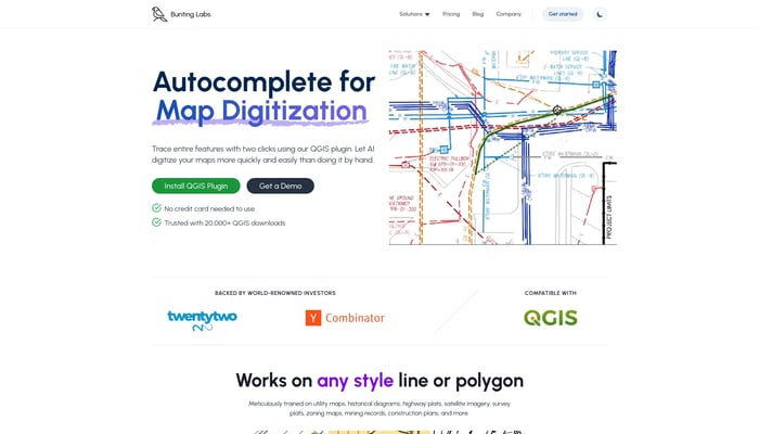

Bunting Labs
Digitize geospatial data locked on paper and in PDFs
Image to GIS


Inversion Space
Turning space into a transportation layer for Earth
Text to 3D
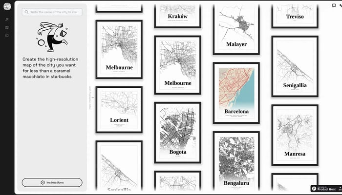

Mapster
Generate high-res city map posters
City Map Generator
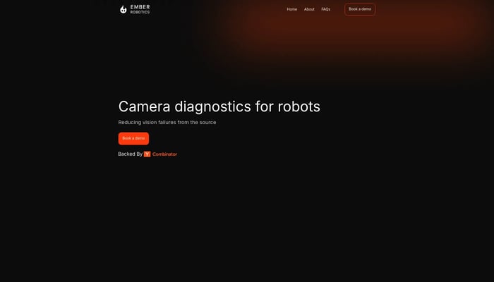

Ember Robotics
Camera diagnostics for robots
Camera Diagnostics


JetPack Aviation
Flying motorcycles
Flying Motorcycle
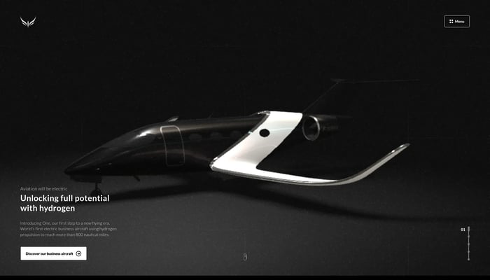

Beyond Aero
First electric business aircraft designed for hydrogen propulsion
Electric Aircraft
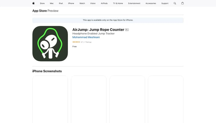

AirJump
Accurate jump rope tracking with AirPods, providing real-time data and motivating achievements.
Jump Rope Tracking


Sphere
Building something new.
Text to Image
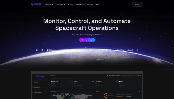

Quindar
The platform to monitor and automate satellite operations
Satellite Fleet Management
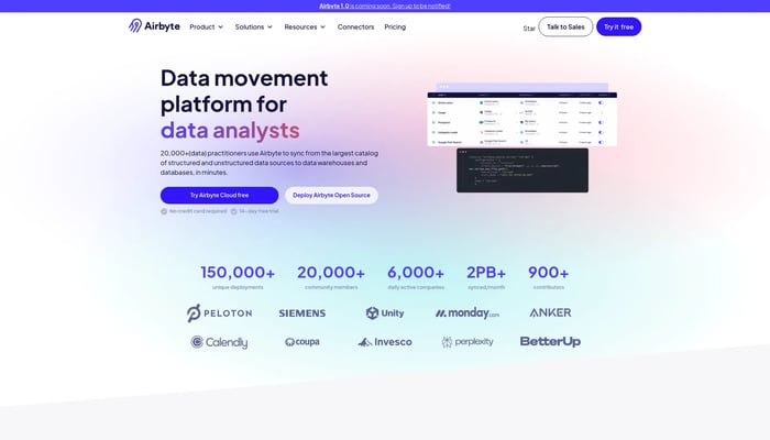

Airbyte
Open-source EL(T) platform
Data Pipelines
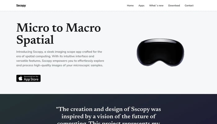

Sscopy
See microscopic detail with unparalleled clarity and depth.
Microscopy Images
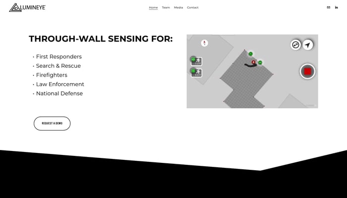

Lumineye
X-ray Vision for First Responders
Through-Wall Imaging
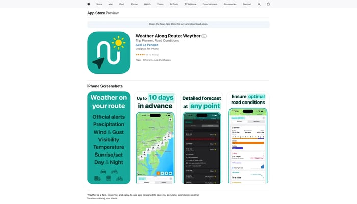

Wayther
Stay safe, avoid delays, and save money on your road trips
Route Weather Forecasts
Amazon CloudWatch
Monitor, analyze, and optimize your AWS resources and applications.
Cloud Monitoring


Observant
iPhone-based driver monitoring for commercial fleets.
Driver Safety

AI Cam Lens
Instantly identify anything with your camera.
Image Recognition


Velontra
Hypersonic space plane that can take-off from any location and weather
Hypersonic Space Plane


Plume
Discover the world of birds with ease, using a comprehensive database and user-friendly tools.
Energy Audit
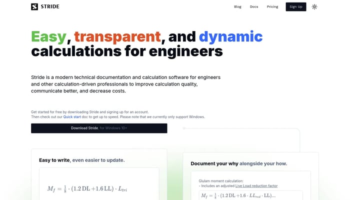

Stride
Streamline your engineering calculations with modern, markdown-based documentation.
Technical Documentation
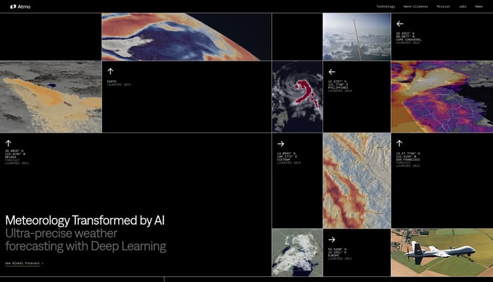

Atmo
Ultra-precise AI weather forecasting.
AI-Powered Weather Forecasts

