Categories
Geospatial Data Digitization Related Products
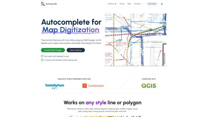

Bunting Labs
Digitize geospatial data locked on paper and in PDFs
Image to GIS


Geosite
Geosite is an enterprise SaaS platform for spatial data.
Spatial Data Management

DataMonkey
Unlock powerful location insights with ease - no coding required.
Location-Based Analytics
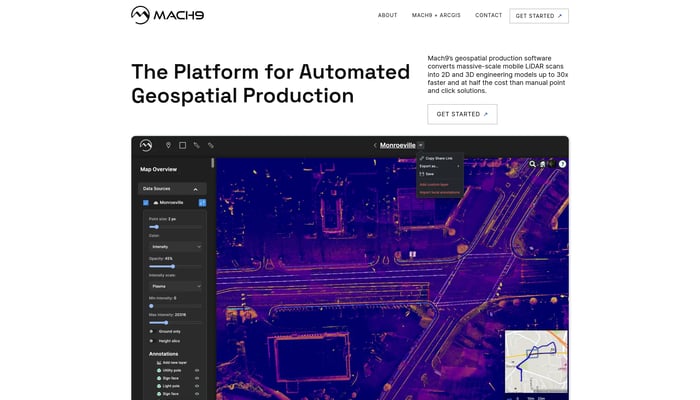

Mach9
The Fastest Tool for Automating Geospatial Production
Urban Planning
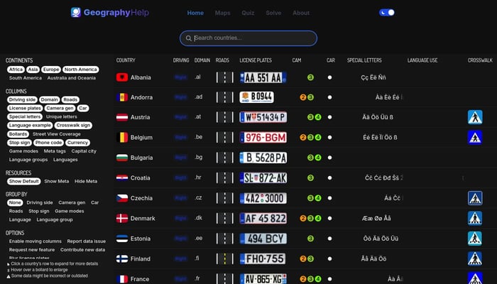

GeographyHelp
Comprehensive GeoGuessr Resources with maps, quizzes & more
GeoGuessr


Scrap.io Maps Connect
Get company email & social media profiles from Google maps
Lead Generation
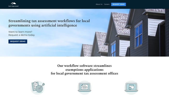
Just Appraised
Just Appraised makes software for local governments.
Tax Assessment Automation


Jido Maps
Turn your data into a deployed computer vision model
Image to Model
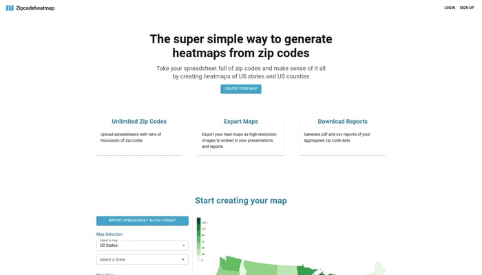

Zipcode Heat Map
Generate heat maps of US states and counties from zip codes
Sales Analytics
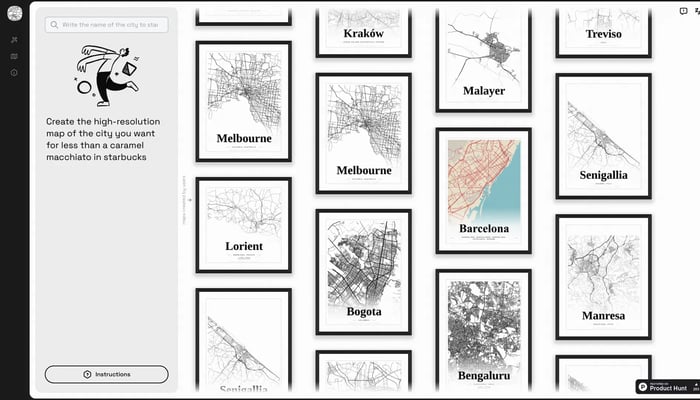

Mapster
Generate high-res city map posters
City Map Generator


GeoClick
Capture and tag your photos with accurate GPS coordinates.
GPS Tagging


Tolemi
Tolemi is Palantir for city governments.
City Planning & Development
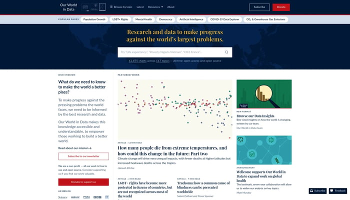

Our World in Data
Research and data to make progress against the world’s largest…
Global Trends


Tenyks
Data-Centric Co-Pilot for Computer Vision Engineers
Data Quality Management
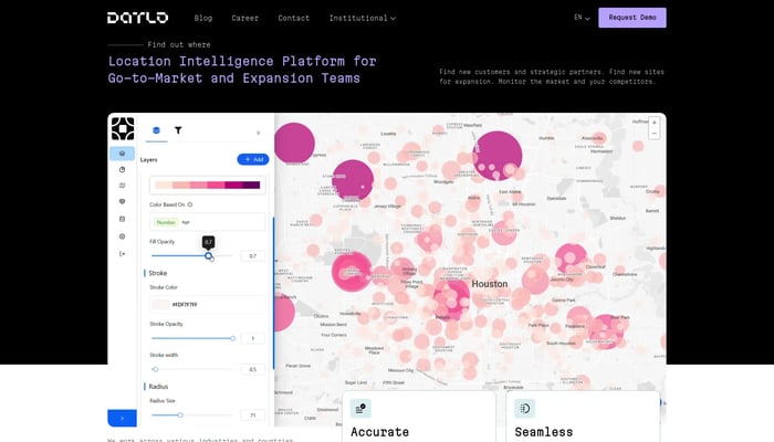

Datlo
Datlo helps companies increase sales and expand through data
Market Research


PropRise
Automating commercial real estate data collection
Commercial Real Estate Data


Waywise
iOS travel guides for any city
City Guides
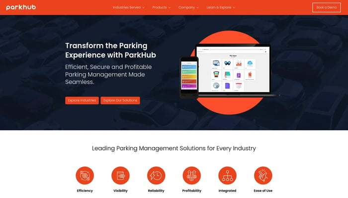

Smarking
Digitize $655B parking industry
Dynamic Pricing


BlitzWizMap
Create professional mobile map apps without writing a single line of code.
CSV to Map App

Urban Grid
Showcase your real estate properties, connect with clients
Property Showcase
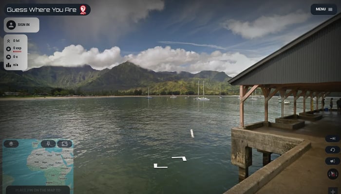

Guess Where You Are
Guess the location from street view images, explore the world!
Geography Game


Room Scanner
Generate floor plans & models
Floor Plan Generation


Apple Maps for Web Beta
Directions, Guides & Traffic
Live Traffic Updates
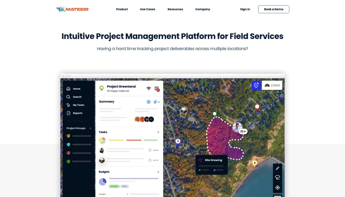

Matidor.com
Project management on a live map
Map-Based Project Management


City 17
Global decentralised advertising platform
Decentralised Advertising


truemetrics
Helping logistics companies to deliver to their customer’s doorstep.
Delivery Optimization


Segment
Software and APIs to collect, clean, and control customer data.
Data Collection


Infography - V2
Turn your blogs into stunning infographics with AI.
AI-Powered Infographic Creation

Kurby
Property valuation & location analysis for real estate
AI-Powered Property Valuation
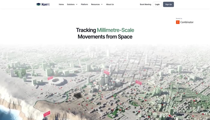

KorrAI
Tracking Millimetre-Scale Movements from Space
Land Subsidence Monitoring

