Categories
Hyperlocal Weather Data Related Products


Precip
High precision AI weather models
Hyperlocal Weather Data
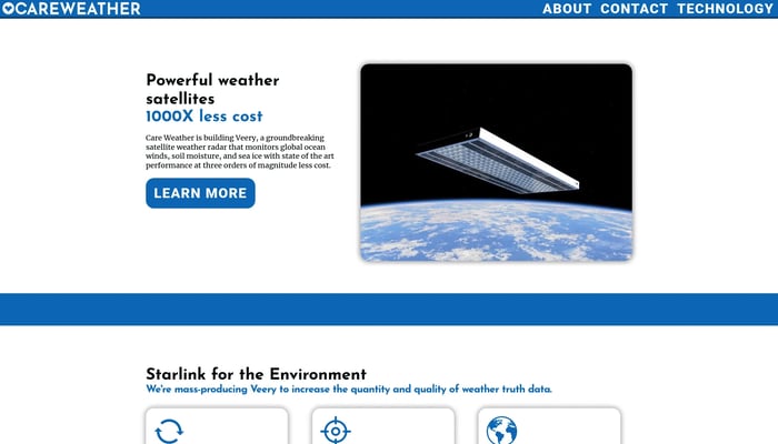

Care Weather
The highest-accuracy global weather data from low-cost flat satellites
Satellite Data Analysis
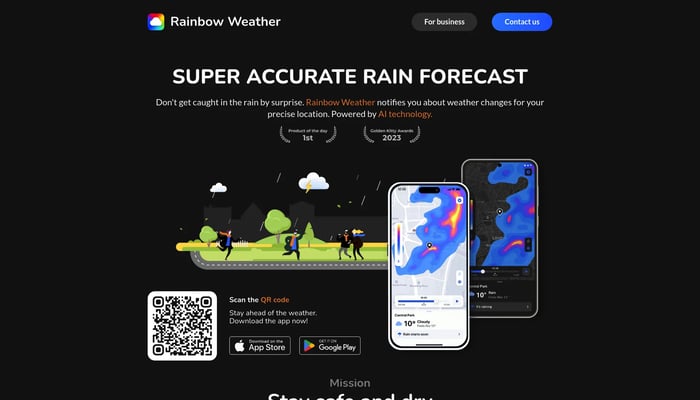

Rainbow Weather
AI forecast, today's weather, and a hurricane tracker
AI Weather Forecasting
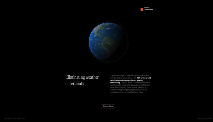

Sorcerer
The world's most accurate weather data, everywhere
AI Weather Models
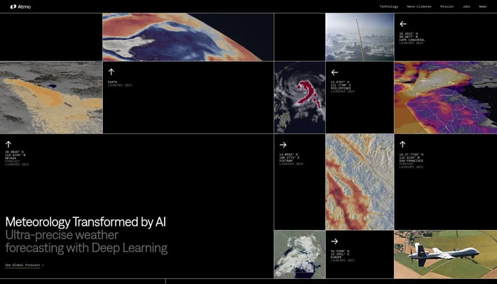

Atmo
Ultra-precise AI weather forecasting.
AI-Powered Weather Forecasts


Lazy Weather app
The simplest most useful weather app so far
AI-Powered Weather Forecast
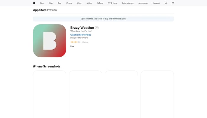

Brzzy Weather
Making forecasts fun, one GIF at a time
GIF Weather Forecasts
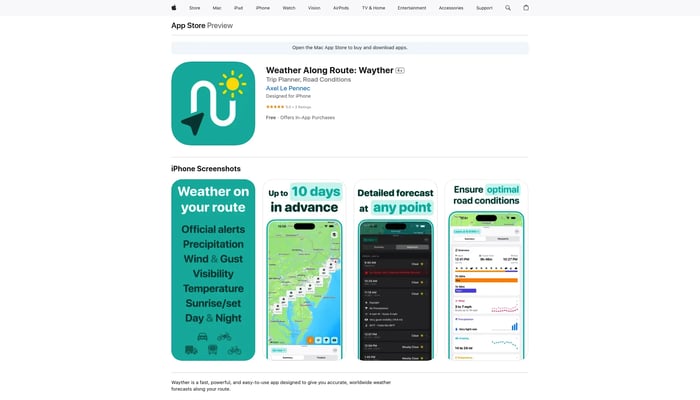

Wayther
Stay safe, avoid delays, and save money on your road trips
Route Weather Forecasts
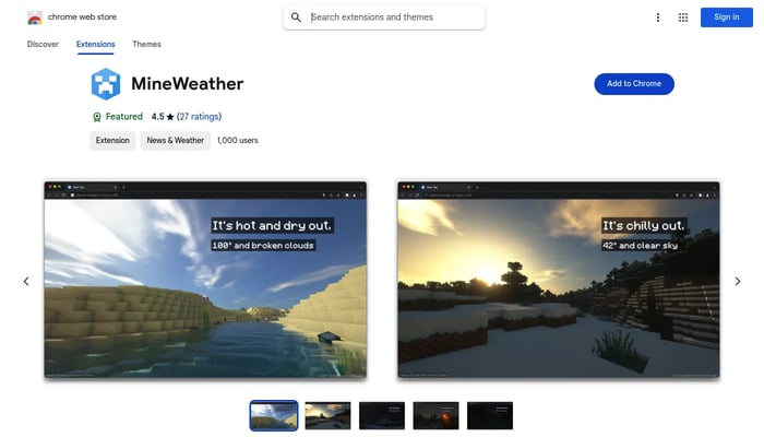

MineWeather
A Minecraft-themed new tab experience that dynamically reflects the weather.
Weather Visualization
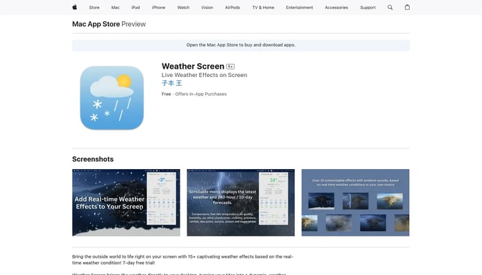

Weather Screen
Bring Real-time Weather Effects to your Mac Screen
Weather Effects

DataMonkey
Unlock powerful location insights with ease - no coding required.
Location-Based Analytics


Geosite
Geosite is an enterprise SaaS platform for spatial data.
Spatial Data Management
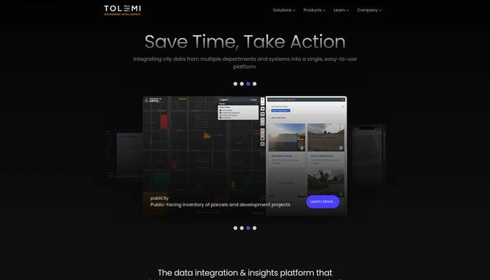

Tolemi
Tolemi is Palantir for city governments.
City Planning & Development
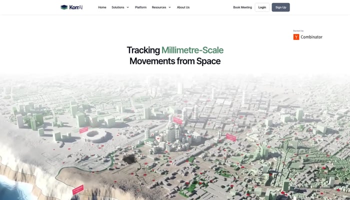

KorrAI
Tracking Millimetre-Scale Movements from Space
Land Subsidence Monitoring


Wyvern
High-res hyperspectral pictures of Earth from space
Hyperspectral Imaging

Stuntmark
We use AI sentiment analysis for location based content
Location-Based Social Media
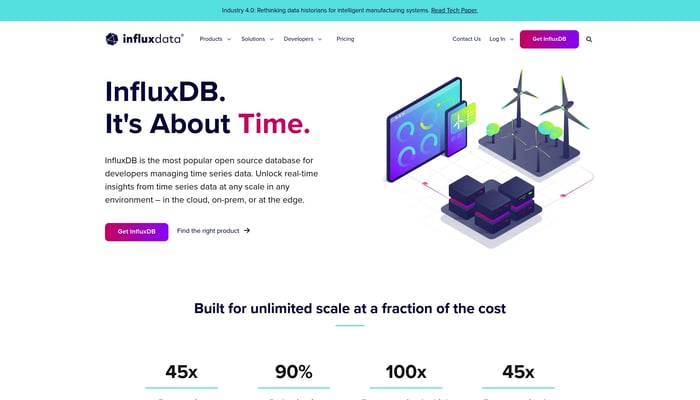

InfluxData
The platform for building and operating time series applications.
Monitoring & Observability
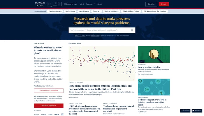

Our World in Data
Research and data to make progress against the world’s largest…
Global Trends
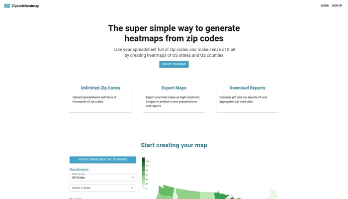

Zipcode Heat Map
Generate heat maps of US states and counties from zip codes
Sales Analytics
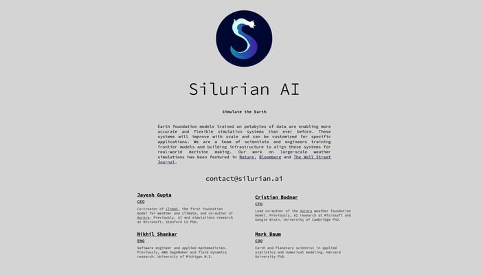

Silurian
Foundation models to simulate Earth
Earth Simulation
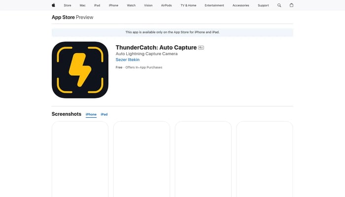

ThunderCatch
iOS App designed to capture lightning strikes automatically
Lightning Detection

UV Rating
Hourly UV Rating Forecast
Hourly UV Forecasts
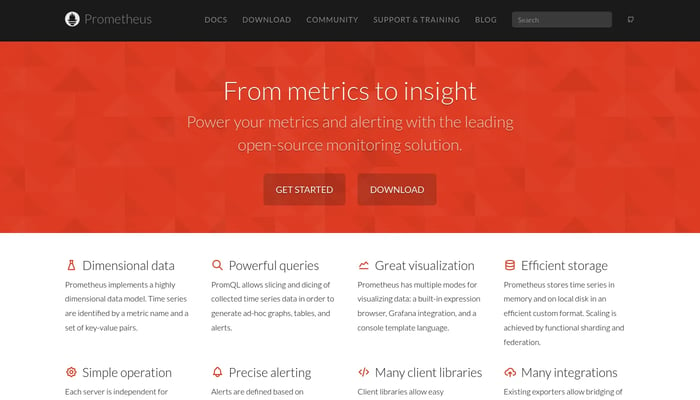
Prometheus
Monitor your systems with powerful alerts and insightful visualizations.
Time Series Database
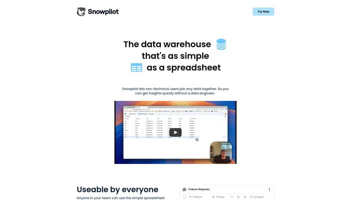

Snowpilot
The data warehouse that's as simple as a spreadsheet
Data Visualization
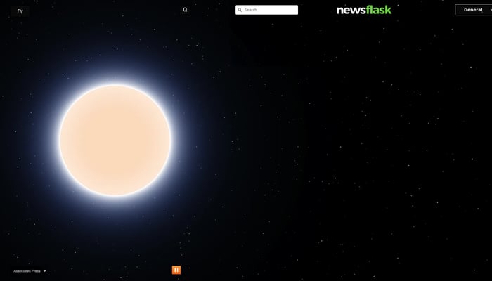

Newsflask
Latest headlines from around the world
Interactive Globe
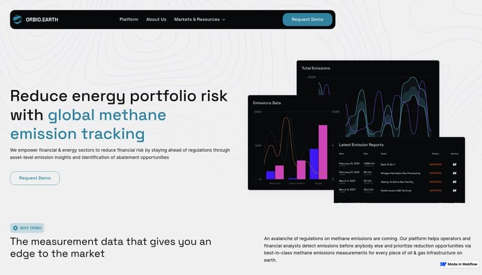

Orbio Earth
Tracking methane emissions with satellites
Satellite Data Analysis


How many layers today?
Get the perfect layering strategy for any weather.
Outfit Recommendations


Roamless
Global data without the hassle. Stay connected anywhere.
Global eSIM
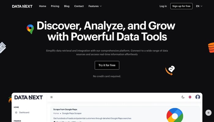
DATA NEXT
Unlocking data potential with user-friendly tools and efficient processes.
Data Exploration
Bright Data
Unlocking public web data for informed business decisions.
Web Scraping

