Categories
Hyperlocal Weather Related Products
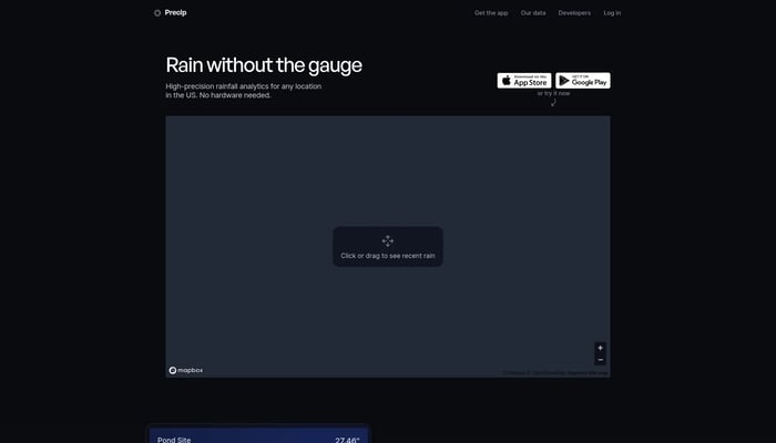

Precip
High precision AI weather models
Hyperlocal Weather Data
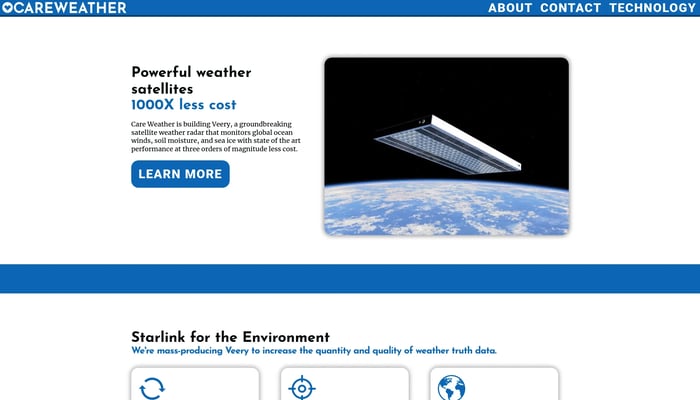

Care Weather
The highest-accuracy global weather data from low-cost flat satellites
Satellite Data Analysis
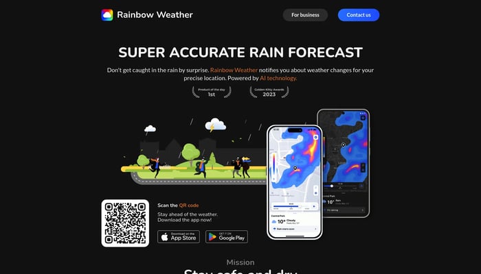

Rainbow Weather
AI forecast, today's weather, and a hurricane tracker
AI Weather Forecasting
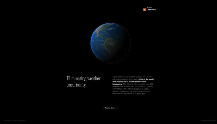

Sorcerer
The world's most accurate weather data, everywhere
AI Weather Models
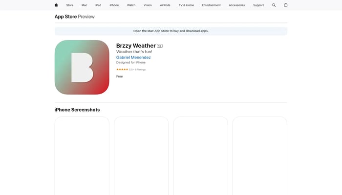

Brzzy Weather
Making forecasts fun, one GIF at a time
GIF Weather Forecasts
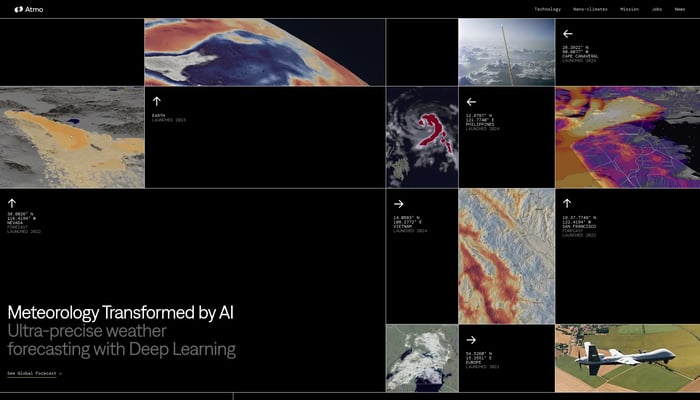

Atmo
Ultra-precise AI weather forecasting.
AI-Powered Weather Forecasts


Lazy Weather app
The simplest most useful weather app so far
AI-Powered Weather Forecast
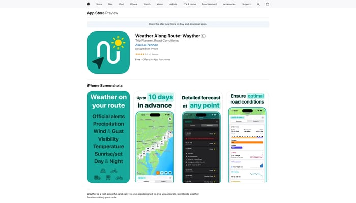

Wayther
Stay safe, avoid delays, and save money on your road trips
Route Weather Forecasts
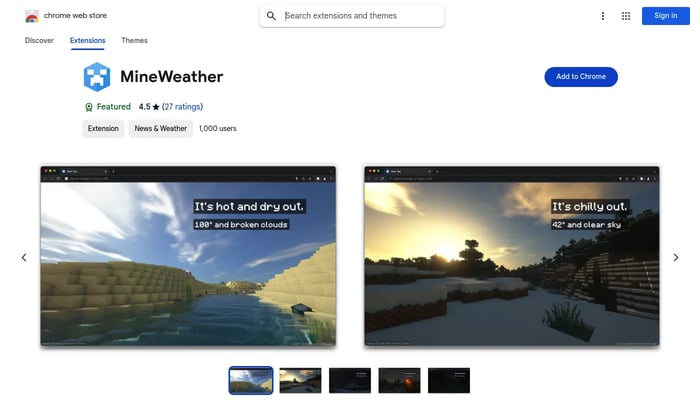

MineWeather
A Minecraft-themed new tab experience that dynamically reflects the weather.
Weather Visualization
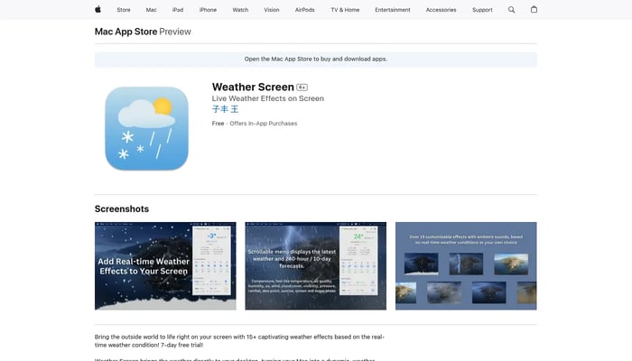

Weather Screen
Bring Real-time Weather Effects to your Mac Screen
Weather Effects

DataMonkey
Unlock powerful location insights with ease - no coding required.
Location-Based Analytics


Silurian
Foundation models to simulate Earth
Earth Simulation


Skyscrape
Skyscrape makes temperature-responsive insulation
Temperature Responsive Fabrics


How many layers today?
Get the perfect layering strategy for any weather.
Outfit Recommendations


Twin City
Travel more by cutting out hotel or Airbnb expenses
Affordable Travel


eero Outdoor 7
Expand your Wi-Fi coverage beyond your walls and into the great outdoors.
Outdoor Wi-Fi


Wyvern
High-res hyperspectral pictures of Earth from space
Hyperspectral Imaging
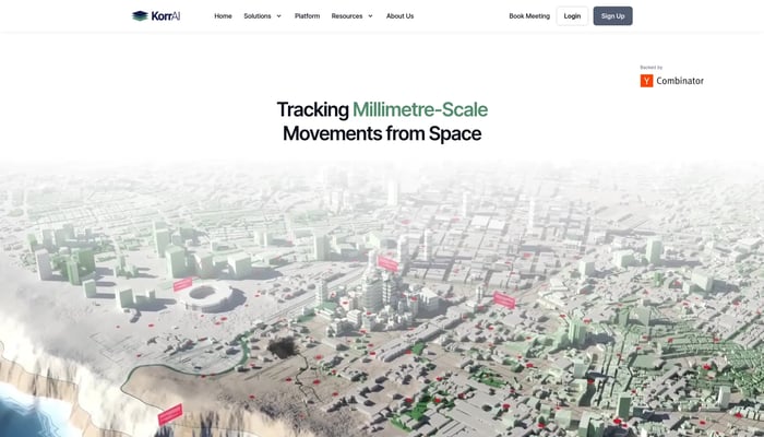

KorrAI
Tracking Millimetre-Scale Movements from Space
Land Subsidence Monitoring
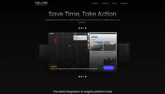

Tolemi
Tolemi is Palantir for city governments.
City Planning & Development
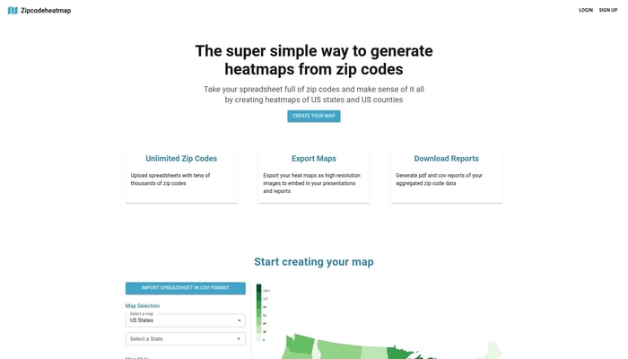

Zipcode Heat Map
Generate heat maps of US states and counties from zip codes
Sales Analytics

UV Rating
Hourly UV Rating Forecast
Hourly UV Forecasts
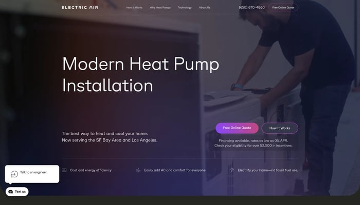

Electric Air (Previously Helios Climate)
Tech-enabled heat pump contractor that cuts costs by 60%
Heat Pump Installation


Reach Labs
Long range, wireless energy distribution that scales
Long Range Wireless Power
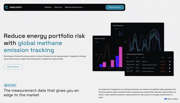

Orbio Earth
Tracking methane emissions with satellites
Satellite Data Analysis


OneLocal
OneLocal is a CRM for local businesses.
Customer Relationship Management


Polarsteps
Easily plan, track, and relive your travels
Trip Itinerary


Sunny Days Ahead
Find the best and sunniest months to travel
Weather Data


Estimote, Inc.
Location intelligence platform
Asset Tracking


Localyze
Global mobility platform for companies and employees
Global Mobility


Geosite
Geosite is an enterprise SaaS platform for spatial data.
Spatial Data Management

