Categories
Satellite Imaging Related Products
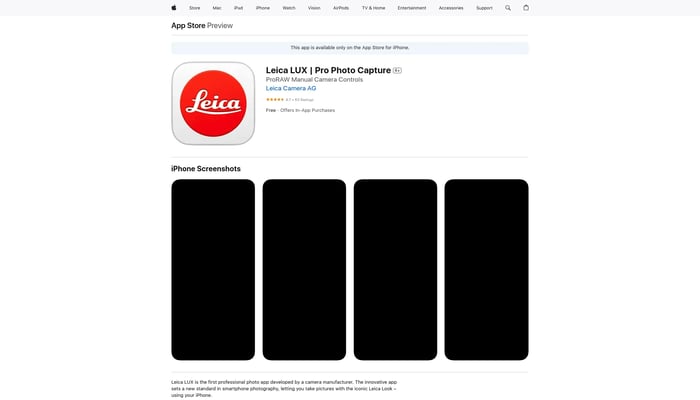

Leica LUX
ProRAW Manual Camera Controls
Image Enhancement

Superb AI
Superb AI is a training data management platform
Data Labeling
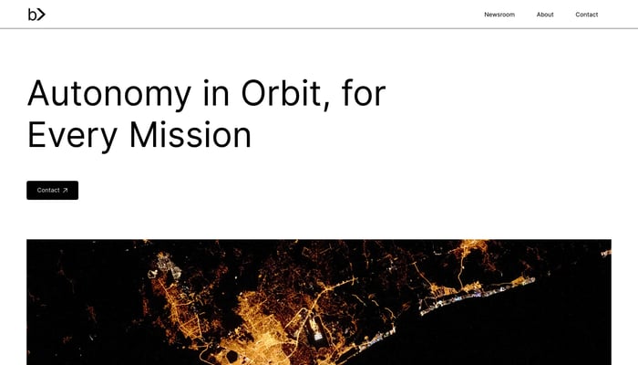

Basalt Tech
Autonomy in space, for every mission
Satellite Fleet Management
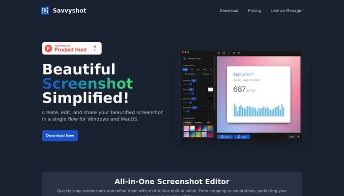

Savvyshot
Create professional screenshots without design skills.
Screenshot Editing
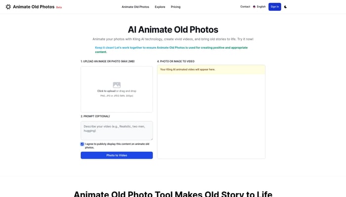
Animate Old Photos
Animate your photos with advanced AI technology.
AI Photo Animation

Rainforest.zone
Generate stunning AI images, edit effortlessly, and create custom fashion visuals.
Text to Image
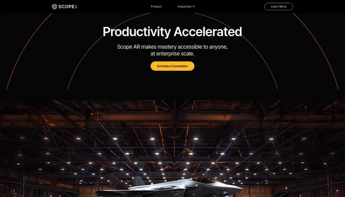

Scope AR
Scope AR is the leading provider of User Guided Augmented Reality…
Remote AR
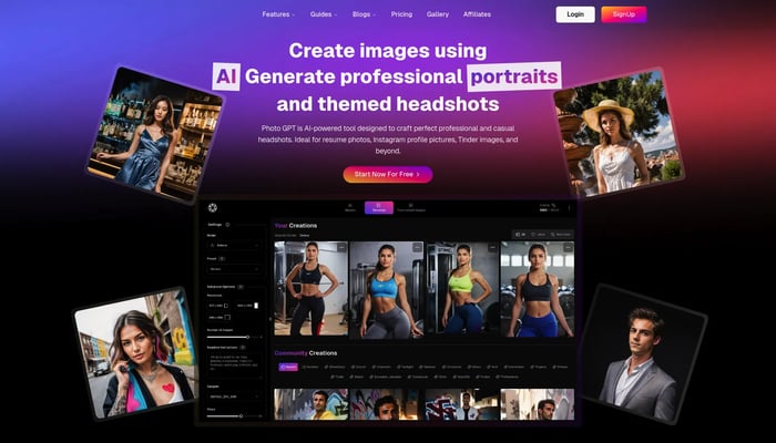
PhotoGPT
Create personalized, realistic images with AI
Text to Image

Ixora
We create the digital outdoor environment for a movie.
Text to Video
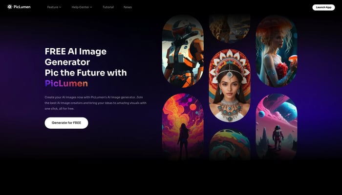
PicLumen
Pic the future: Free AI images in one click
Text to Image
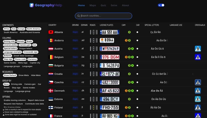

GeographyHelp
Comprehensive GeoGuessr Resources with maps, quizzes & more
GeoGuessr
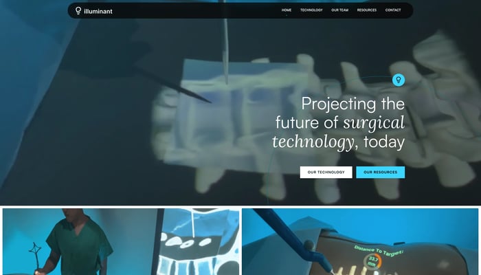

Illuminant Surgical
We let surgeons project x-rays directly on the patient’s skin
Surgical Navigation
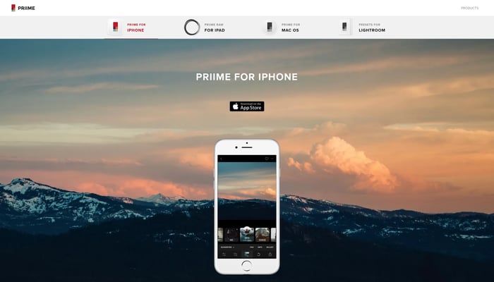

Priime
Priime is a company dedicated to advancements in technology around…
Photo Upscaling
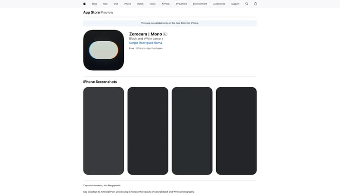
Zerocam Mono
Turn your phone into black and white camera saved in RAW

ThunderCatch
iOS App designed to capture lightning strikes automatically
Lightning Detection
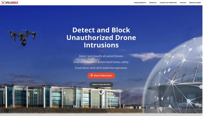

ApolloShield
ApolloShield is a system that detects unwanted drones and drives them…
Drone Detection


Polarsteps
Easily plan, track, and relive your travels
Trip Itinerary


RadMate AI
Copilot for radiologists
AI-Powered Radiology Reports
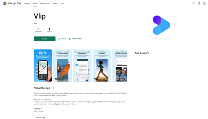

Vlip
Find everything about a place with short-form videos
Text to Video
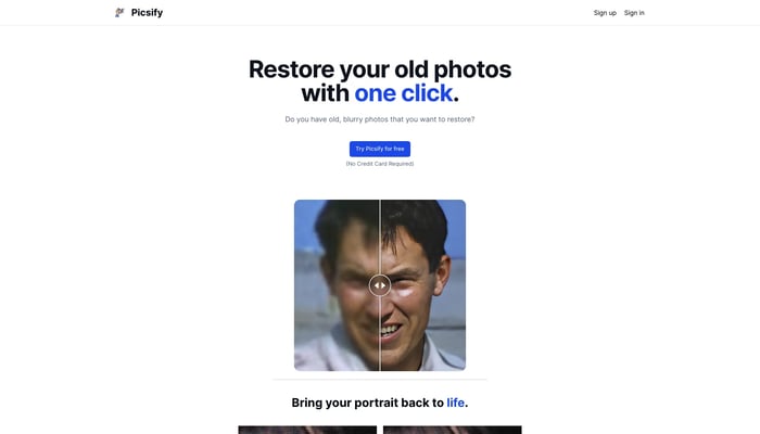

Picsify
Ditch photoshop, enhance your photos in seconds.
Image Restoration
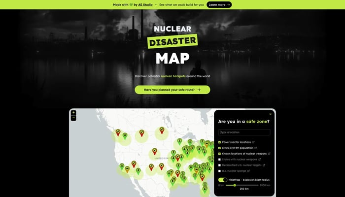

Nuclear Disaster Map
Is your home in a nuclear risk zone?
Nuclear Risk Assessment
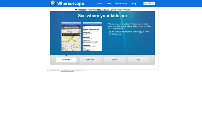
Whereoscope
Location-aware smartphone application that enables parents to keep…
Location Tracking
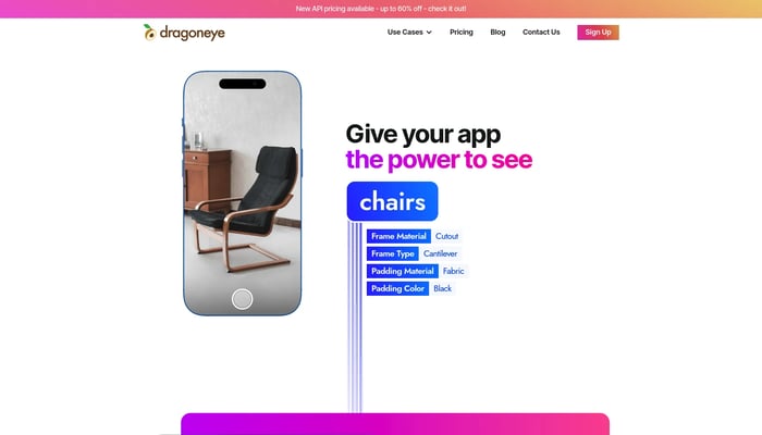

Dragoneye
Helping devs build computer vision models automatically
Image Recognition


Apple Maps for Web Beta
Directions, Guides & Traffic
Live Traffic Updates
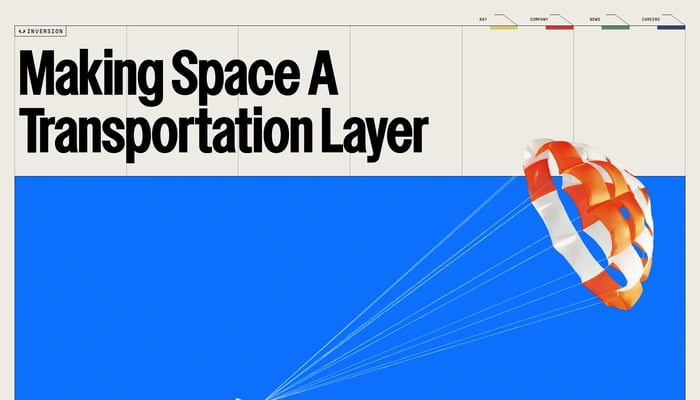

Inversion Space
Turning space into a transportation layer for Earth
Text to 3D

Movity
Real estate data visualization. Sold to Trulia Dec…
Neighborhood Analytics
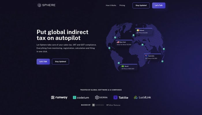

Sphere
Building something new.
Text to Image
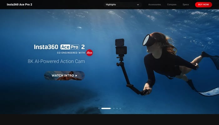

Insta360 Ace Pro 2
Capture stunning 8K footage with advanced image stabilization and AI-powered features.
8K Video Recording
PhotoSolve
Scan, solve, and learn from any question.
AI-Powered Learning
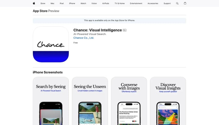

Chance: Visual Intelligence
See the world with new eyes.
Art Recognition

