
HEO Robotics visually monitors satellites for governments and defence. We do this by transforming existing Earth observation satellites with software to image other satellites as they fly close by.
HEO offers tailored pricing plans to meet the needs of commercial, government, and defense organizations. Contact us for a customized quote based on your specific requirements.
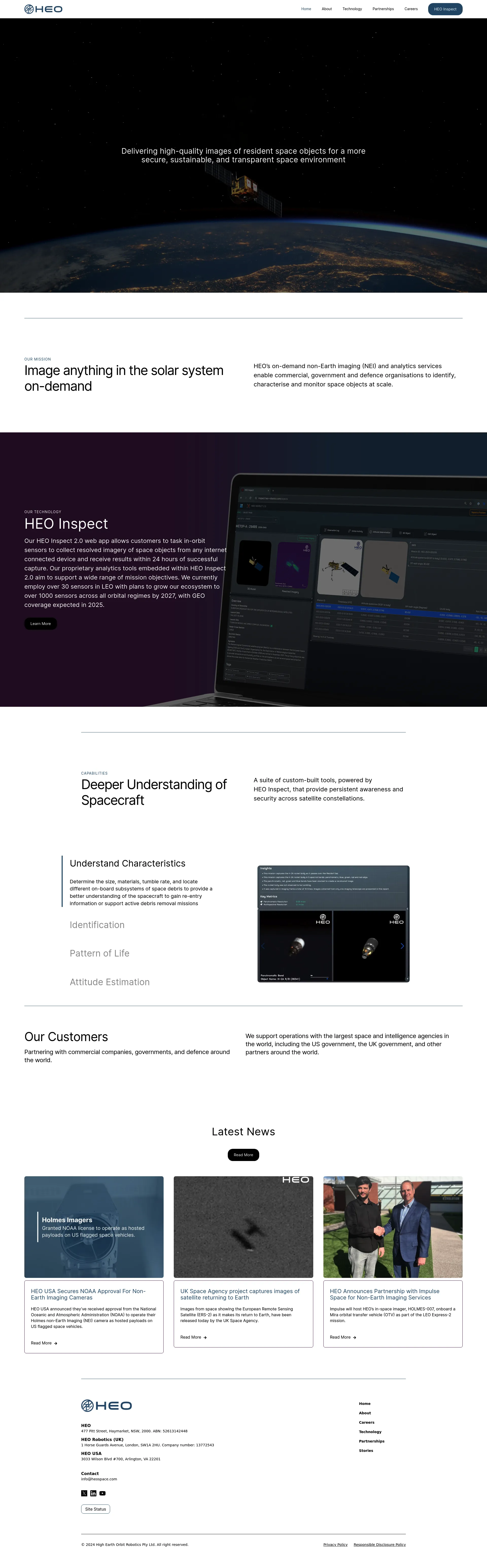
HEO partners with commercial companies, governments, and defense organizations worldwide. We support operations with the largest space and intelligence agencies, including the US government, the UK government, and other global partners.

We're building satellites to create a real-time 3D map of the world.

Match with like-minded professionals for 1:1 conversations

Go from Slack Chaos to Clarity in Minutes

Personalize 1000s of landing pages in under 30 mins

The first LLM for document parsing with accuracy and speed

AI Assistants for SaaS professionals

AI-powered phone call app with live translation

Delightful AI-powered interactive demos—now loginless

AI Motion Graphics Copilot

Pop confetti to get rid of stress & anxiety, 100% AI-free

Smooth payments for SaaS