Categories
Aerial Measurement Related Products
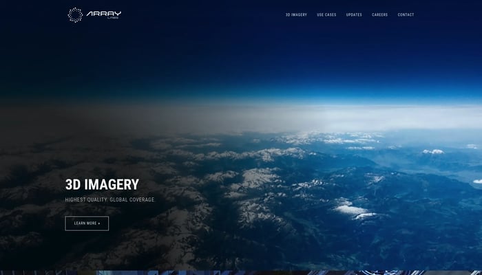

Array Labs
We're building satellites to create a real-time 3D map of the world.
Real-Time 3D Mapping
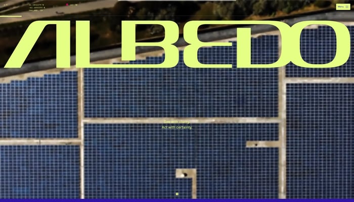

Albedo
Capturing the highest resolution satellite imagery
High-Resolution Imagery


Alba Orbital
We make satellites to image everywhere on Earth, every 15 minutes
Satellite Imagery


Theseus
Navigate confidently in GPS-denied zones.
Visual Navigation System


Guardian RF
UAV detection.
UAV Detection
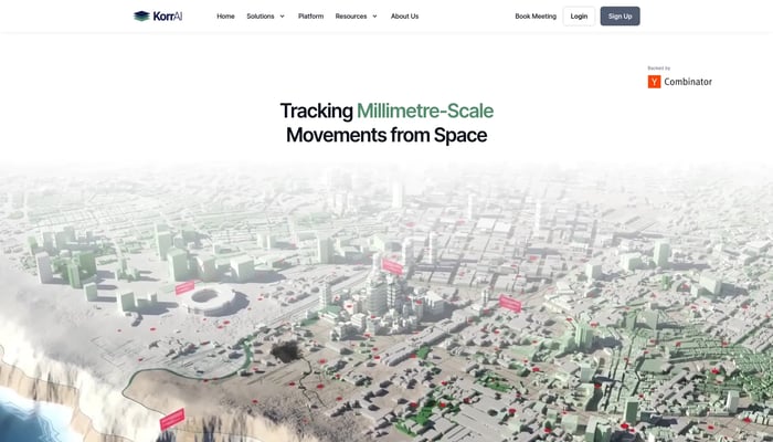

KorrAI
Tracking Millimetre-Scale Movements from Space
Land Subsidence Monitoring


DJI Air 3S
Two cameras, endless possibilities. Capture stunning travel photos with exceptional detail and dynamic range.
Dual Camera System


Wyvern
High-res hyperspectral pictures of Earth from space
Hyperspectral Imaging


Screen Ruler
Measure the web
Web Design


Roofr
Sales software for roofers. Aerial measurements + proposals in seconds
Roofing Estimates
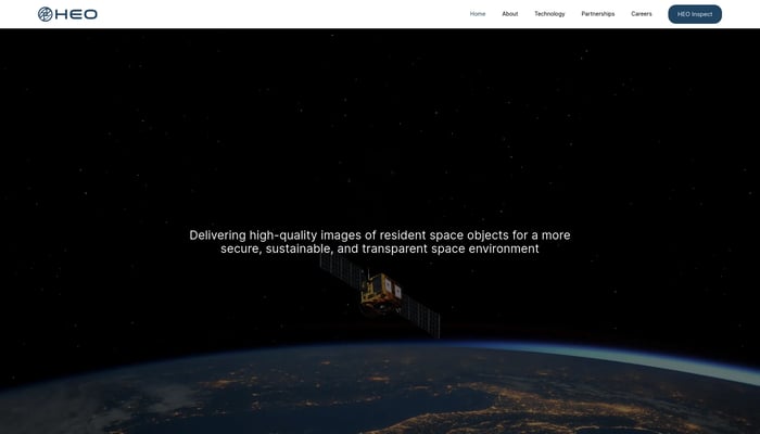

HEO Robotics
We visually monitor space objects for governments and defense
Satellite Imaging


Theseus
GPS Denied Navigation for Drones
Visual Navigation


ApolloShield
ApolloShield is a system that detects unwanted drones and drives them…
Drone Detection
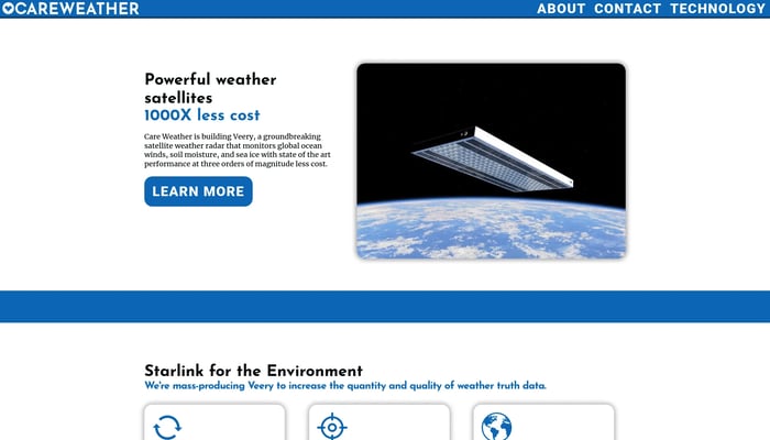

Care Weather
The highest-accuracy global weather data from low-cost flat satellites
Satellite Data Analysis


HyLight
Small unmanned hydrogen airships for long range monitoring
Drone & Airship Technology


Avion
Avion builds and operates autonomous eVTOL drones that deliver vital…
Drone Delivery


Buoyant Aero
Using drone blimps to move middle mile air freight at half the cost.
Drone Delivery


Airhart Aeronautics
Airplanes anyone can fly
Semi-Autonomous Flight Control


Corvus Robotics
Autonomous drones to help warehouses scan inventory.
Inventory Management

Airtrac
Log, track, and share your air travel adventures.
Flight Log


Scope AR
Scope AR is the leading provider of User Guided Augmented Reality…
Remote AR


Ravn
Ravn is building a heads-up display for soldiers.
Augmented Reality


Measured
Personalized weight care platform
Personalized Meal Plans


Pyka
Autonomous electric airplanes
Electric Aircraft
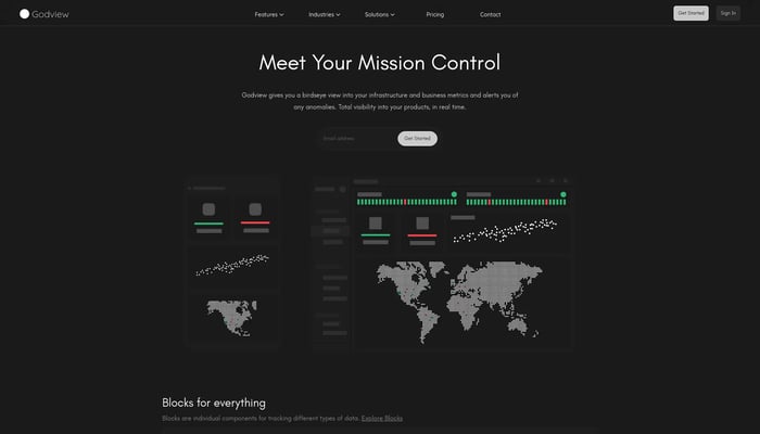

Godview
Meet your mission control
Infrastructure Monitoring
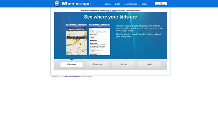
Whereoscope
Location-aware smartphone application that enables parents to keep…
Location Tracking
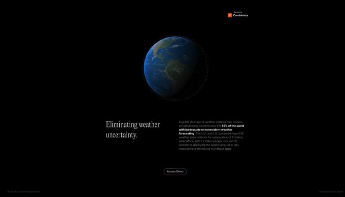

Sorcerer
The world's most accurate weather data, everywhere
AI Weather Models
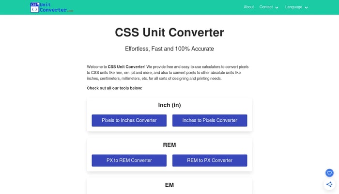
CSS Unit Converter
Simple Pixel Converter Tools for Design & Print
Pixel to Unit Converter
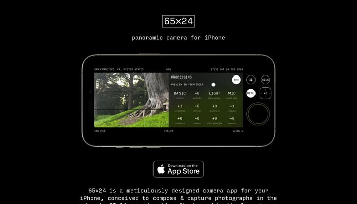

65×24
Capture panoramic photos in the iconic 65:24 aspect ratio on your iPhone.
Image to Image


Macroscope 2
Capture the world in unprecedented detail with a dedicated macro camera for iPhone.
iPhone Microscope

