Categories
High-Definition Mapping Related Products
lvl5
HD maps for self-driving cars.
Autonomous Vehicle Maps
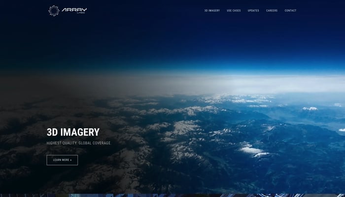

Array Labs
We're building satellites to create a real-time 3D map of the world.
Real-Time 3D Mapping

DigitalCarbon
Convert images and videos into immersive 3D scenes
Image to 3D
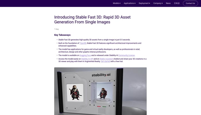

Stable Fast 3D
Rapid 3D asset generation from single images
Image to 3D
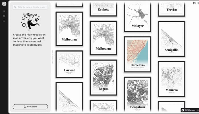
Mapster
Generate high-res city map posters
City Map Generator
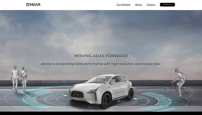

Zendar
We make high definition radar allowing self-driving cars to see in…
High-Definition Radar
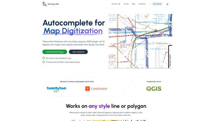

Bunting Labs
Digitize geospatial data locked on paper and in PDFs
Image to GIS


Matterport
Turn physical objects and environments into 3D models in seconds.
Space Capture
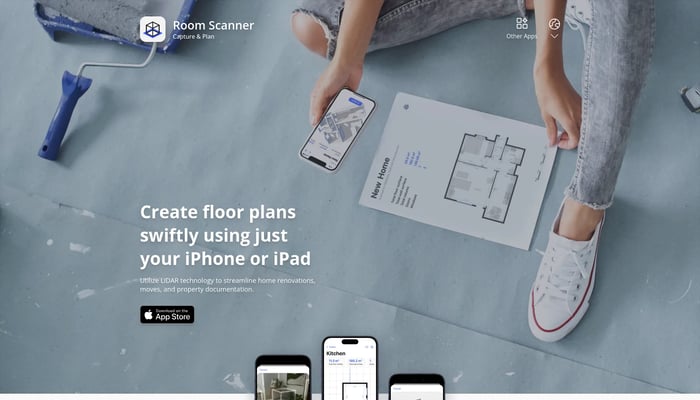

Room Scanner
Generate floor plans & models
Floor Plan Generation
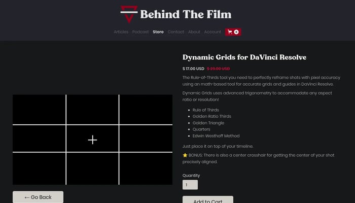
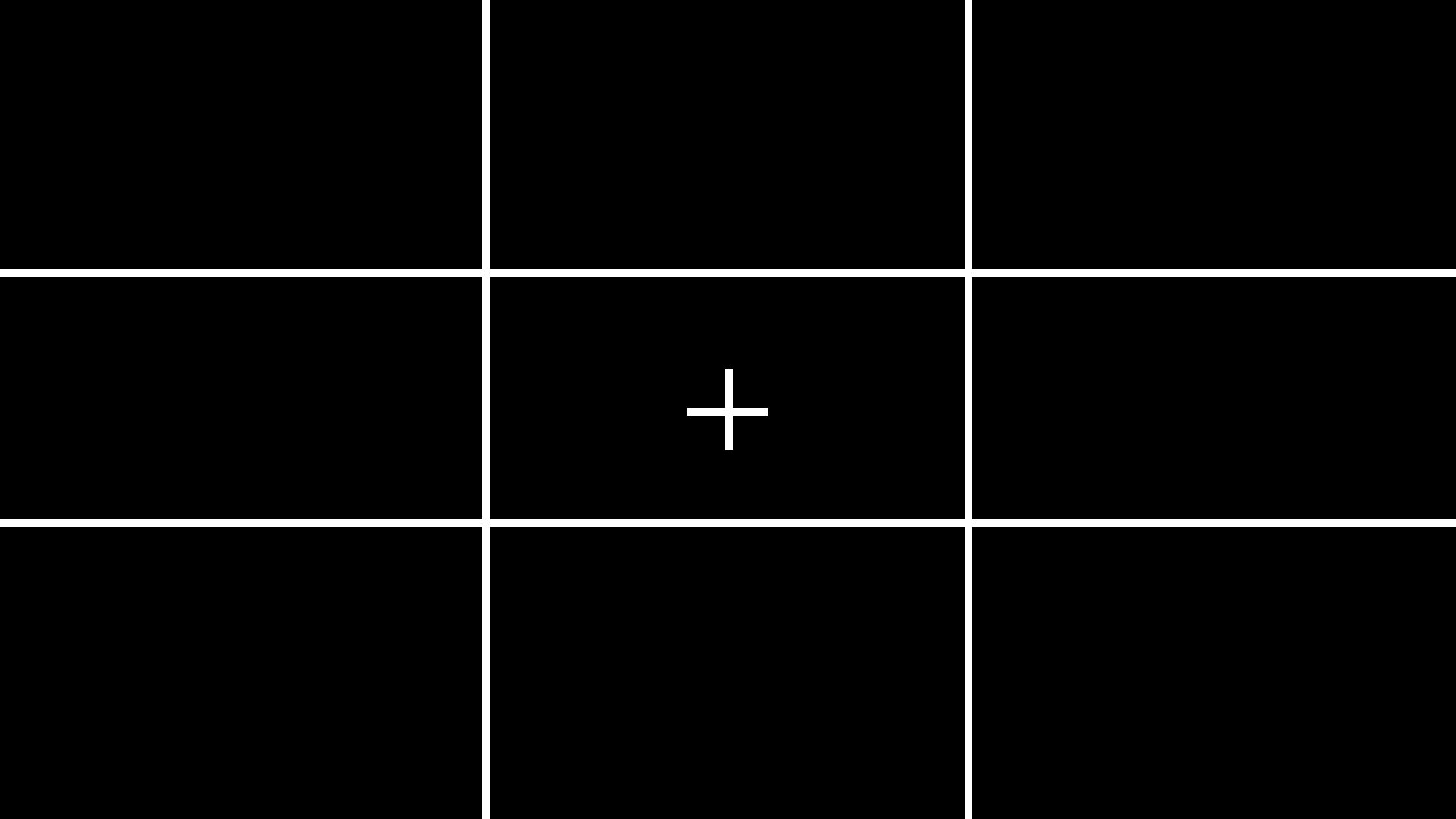
Dynamic Grids for DaVinci Resolve
Elevate your compositions with pixel-perfect grids and powerful framing tools.
DaVinci Resolve Plugins

Jido Maps
Turn your data into a deployed computer vision model
Image to Model
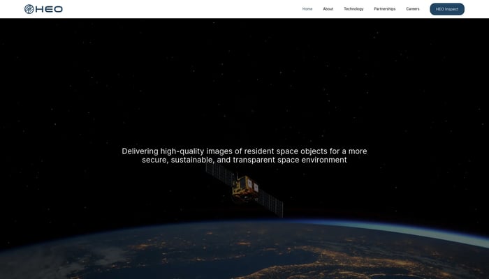

HEO Robotics
We visually monitor space objects for governments and defense
Satellite Imaging
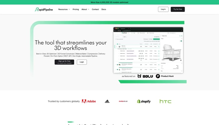

RapidPipeline
3D data prep made easy
3D Data Preparation
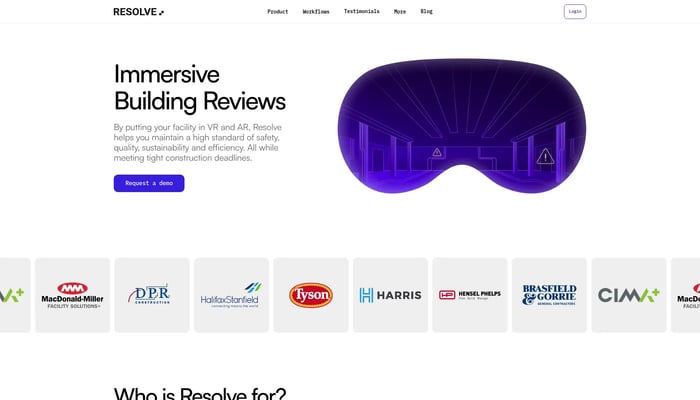

Resolve
VR simulations for operations, maintenance and construction teams.
Construction Simulation
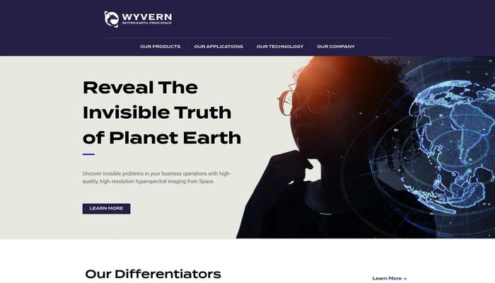

Wyvern
High-res hyperspectral pictures of Earth from space
Hyperspectral Imaging
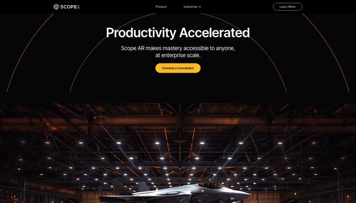

Scope AR
Scope AR is the leading provider of User Guided Augmented Reality…
Remote AR
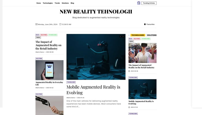

Escher Reality
The backend for Augmented Reality.
AR API
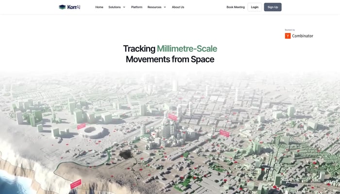

KorrAI
Tracking Millimetre-Scale Movements from Space
Land Subsidence Monitoring


Phiar
We are developing a revolutionary AI-powered augmented reality…
Augmented Reality Navigation
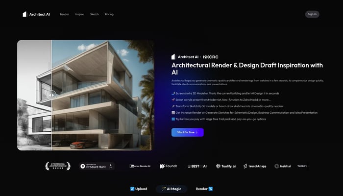
Architect AI
Architectural renderings for design and communication.
Sketch to Render


tonari
life-sized video portals: be together in-person, anywhere.
Life-Sized Video Chat
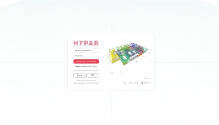

Hypar
Simple, intelligent, space planning for design teams.
Space Planning Software

Ravn
Ravn is building a heads-up display for soldiers.
Augmented Reality
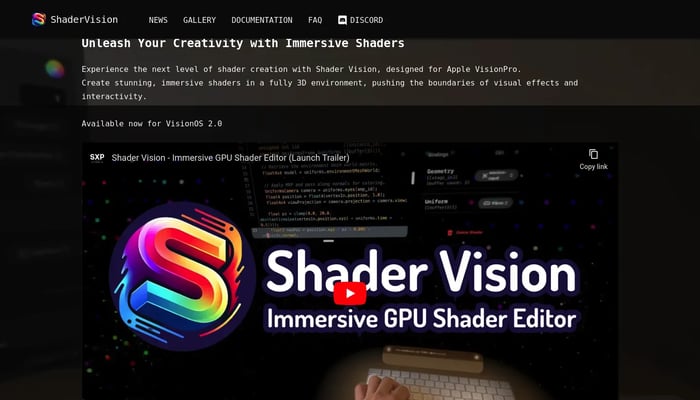

Shader Vision
Real-time GPU shader editor for spatial computing
Real-Time Shader Editor

Movity
Real estate data visualization. Sold to Trulia Dec…
Neighborhood Analytics
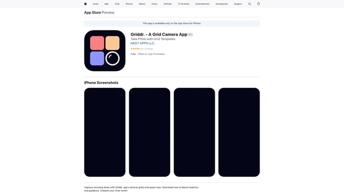

Griddr. - A Grid Camera App
Capture perfect compositions with various grids
Grid Camera

Instore Activation
Engage trade marketing campaigns more effectively with AR
In-Store Experiences
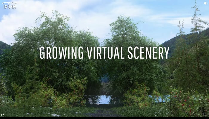
Ixora
We create the digital outdoor environment for a movie.
Text to Video
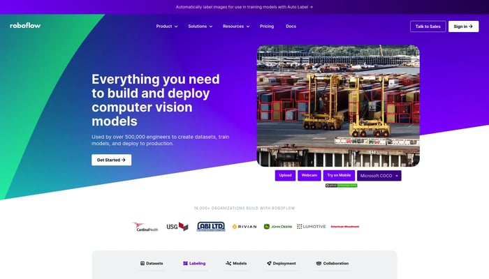

Roboflow
🖼️ Give your software the sense of sight.
Image Annotation
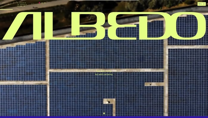

Albedo
Capturing the highest resolution satellite imagery
High-Resolution Imagery

