Categories
High-Resolution Maps Related Products
lvl5
HD maps for self-driving cars.
Autonomous Vehicle Maps
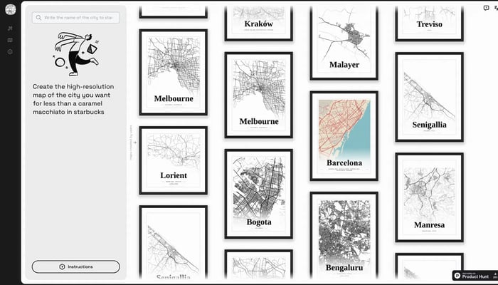

Mapster
Generate high-res city map posters
City Map Generator
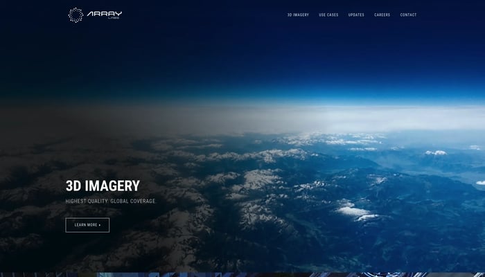

Array Labs
We're building satellites to create a real-time 3D map of the world.
Real-Time 3D Mapping
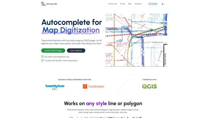

Bunting Labs
Digitize geospatial data locked on paper and in PDFs
Image to GIS


Jido Maps
Turn your data into a deployed computer vision model
Image to Model


Apple Maps for Web Beta
Directions, Guides & Traffic
Live Traffic Updates
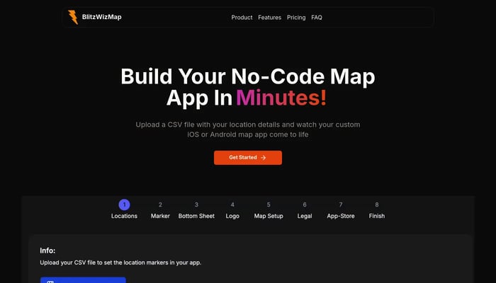

BlitzWizMap
Create professional mobile map apps without writing a single line of code.
CSV to Map App


DigitalCarbon
Convert images and videos into immersive 3D scenes
Image to 3D
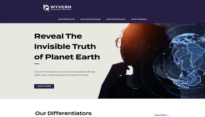

Wyvern
High-res hyperspectral pictures of Earth from space
Hyperspectral Imaging
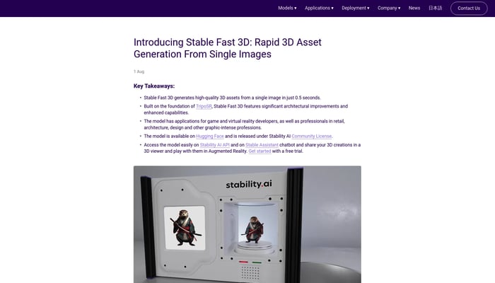

Stable Fast 3D
Rapid 3D asset generation from single images
Image to 3D


Scrap.io Maps Connect
Get company email & social media profiles from Google maps
Lead Generation
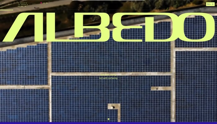

Albedo
Capturing the highest resolution satellite imagery
High-Resolution Imagery
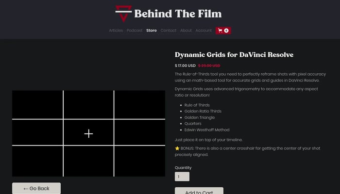

Dynamic Grids for DaVinci Resolve
Elevate your compositions with pixel-perfect grids and powerful framing tools.
DaVinci Resolve Plugins
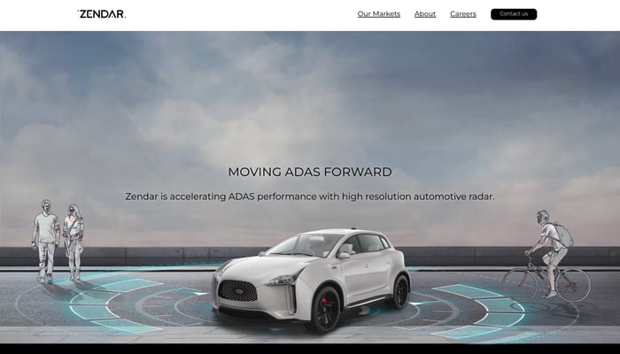

Zendar
We make high definition radar allowing self-driving cars to see in…
High-Definition Radar
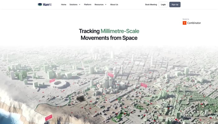

KorrAI
Tracking Millimetre-Scale Movements from Space
Land Subsidence Monitoring
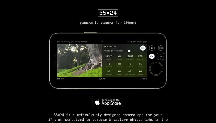

65×24
Capture panoramic photos in the iconic 65:24 aspect ratio on your iPhone.
Image to Image
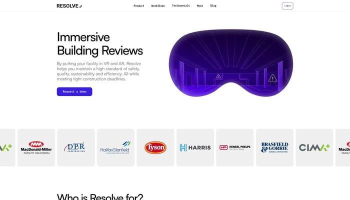

Resolve
VR simulations for operations, maintenance and construction teams.
Construction Simulation


Phiar
We are developing a revolutionary AI-powered augmented reality…
Augmented Reality Navigation
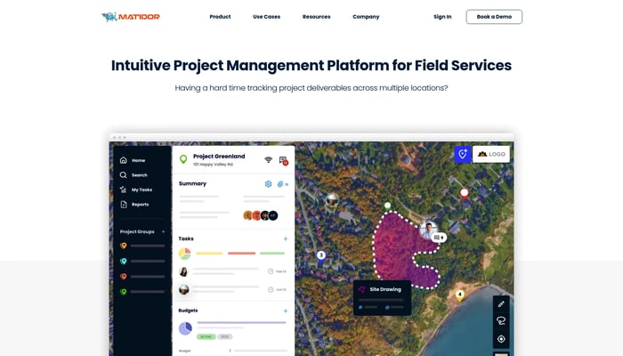

Matidor.com
Project management on a live map
Map-Based Project Management
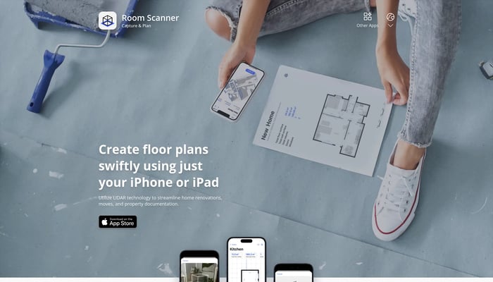

Room Scanner
Generate floor plans & models
Floor Plan Generation


Matterport
Turn physical objects and environments into 3D models in seconds.
Space Capture
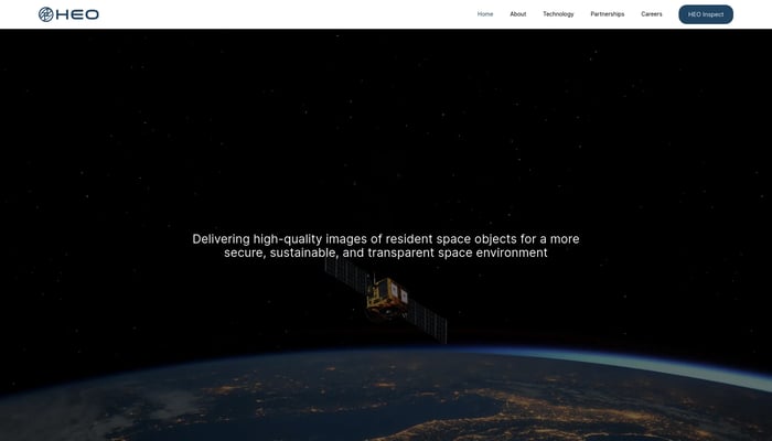

HEO Robotics
We visually monitor space objects for governments and defense
Satellite Imaging
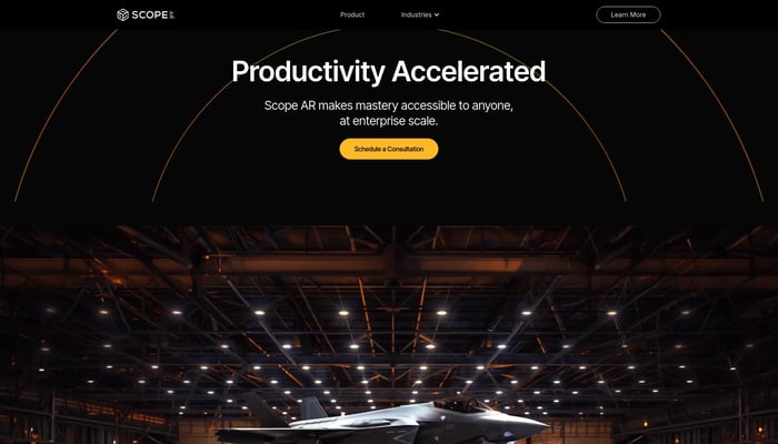

Scope AR
Scope AR is the leading provider of User Guided Augmented Reality…
Remote AR
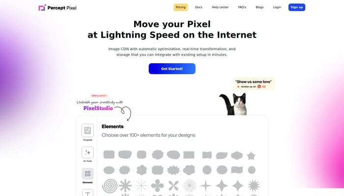

PerceptPixel 2.0
PerceptPixel = Canva and Cloudinary on a jetplane to Milan.
Image Optimization
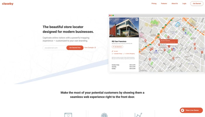

Closeby
A store locator map for your brand
Store Locator
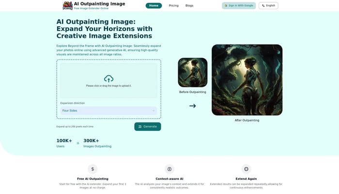
AI Outpainting Image
Seamlessly expand your photos using advanced generative AI.
AI Outpainting

Movity
Real estate data visualization. Sold to Trulia Dec…
Neighborhood Analytics


tonari
life-sized video portals: be together in-person, anywhere.
Life-Sized Video Chat
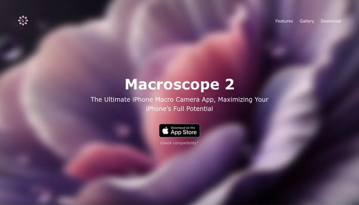

Macroscope 2
Capture the world in unprecedented detail with a dedicated macro camera for iPhone.
iPhone Microscope
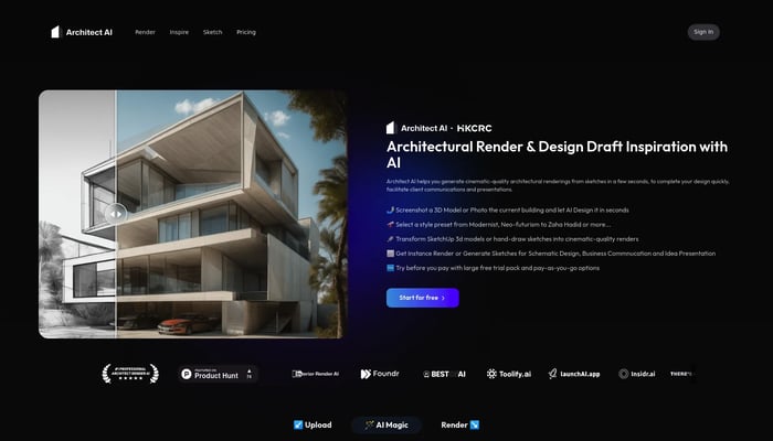
Architect AI
Architectural renderings for design and communication.
Sketch to Render

