Categories
Satellite Imagery Positioning Related Products


Alba Orbital
We make satellites to image everywhere on Earth, every 15 minutes
Satellite Imagery
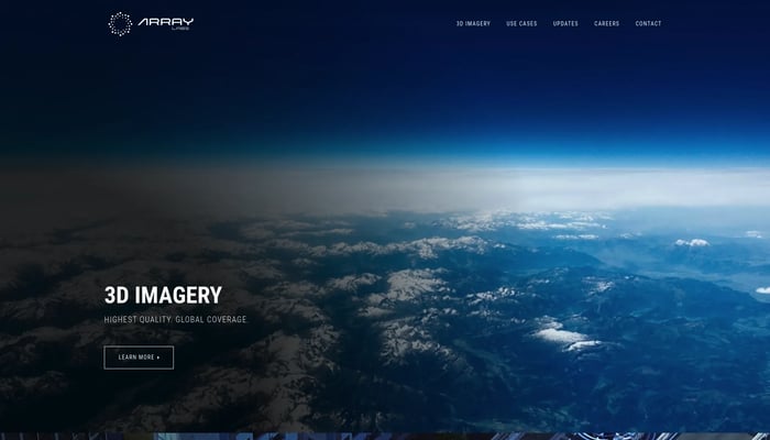

Array Labs
We're building satellites to create a real-time 3D map of the world.
Real-Time 3D Mapping
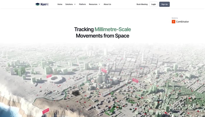

KorrAI
Tracking Millimetre-Scale Movements from Space
Land Subsidence Monitoring
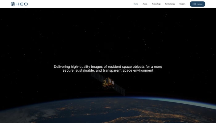

HEO Robotics
We visually monitor space objects for governments and defense
Satellite Imaging
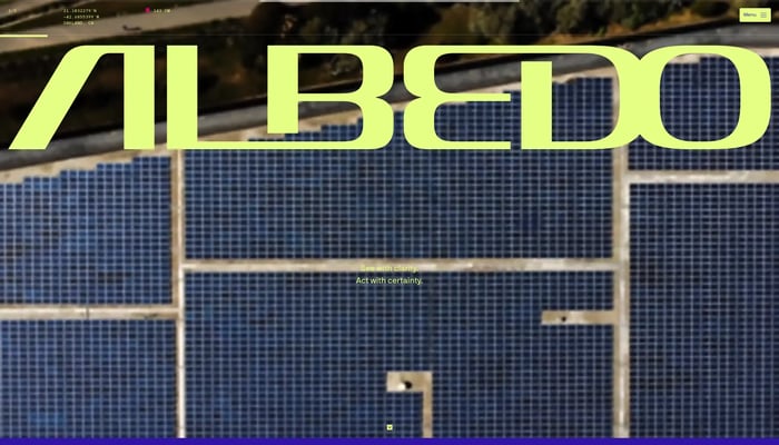

Albedo
Capturing the highest resolution satellite imagery
High-Resolution Imagery


Wyvern
High-res hyperspectral pictures of Earth from space
Hyperspectral Imaging
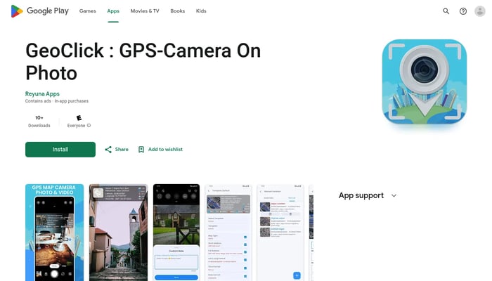

GeoClick
Capture and tag your photos with accurate GPS coordinates.
GPS Tagging
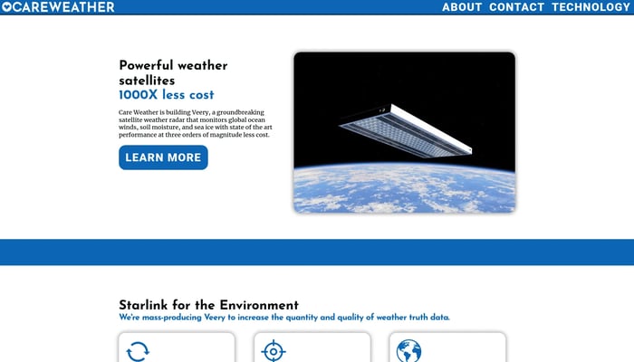

Care Weather
The highest-accuracy global weather data from low-cost flat satellites
Satellite Data Analysis


Theseus
Navigate confidently in GPS-denied zones.
Visual Navigation System


Astranis
The next generation of internet satellites.
Low Earth Orbit Satellites


Theseus
GPS Denied Navigation for Drones
Visual Navigation
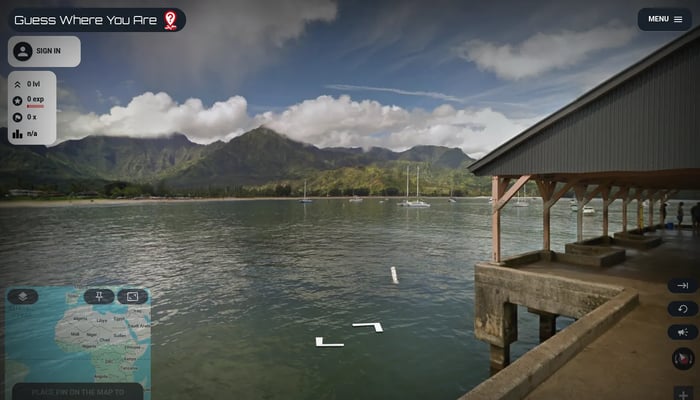

Guess Where You Are
Guess the location from street view images, explore the world!
Geography Game
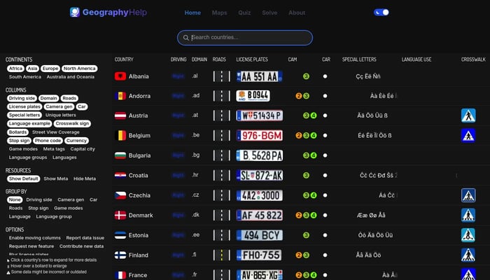

GeographyHelp
Comprehensive GeoGuessr Resources with maps, quizzes & more
GeoGuessr


Quindar
The platform to monitor and automate satellite operations
Satellite Fleet Management

DataMonkey
Unlock powerful location insights with ease - no coding required.
Location-Based Analytics
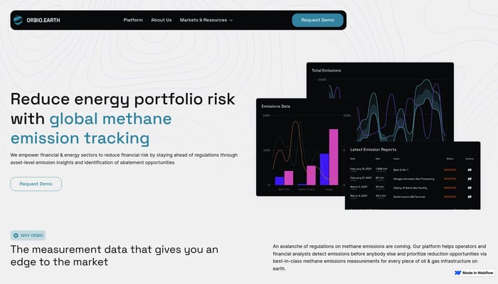

Orbio Earth
Tracking methane emissions with satellites
Satellite Data Analysis


EPIC AEROSPACE
Last-mile delivery for satellites.
Satellite Deployment


Apple Maps for Web Beta
Directions, Guides & Traffic
Live Traffic Updates
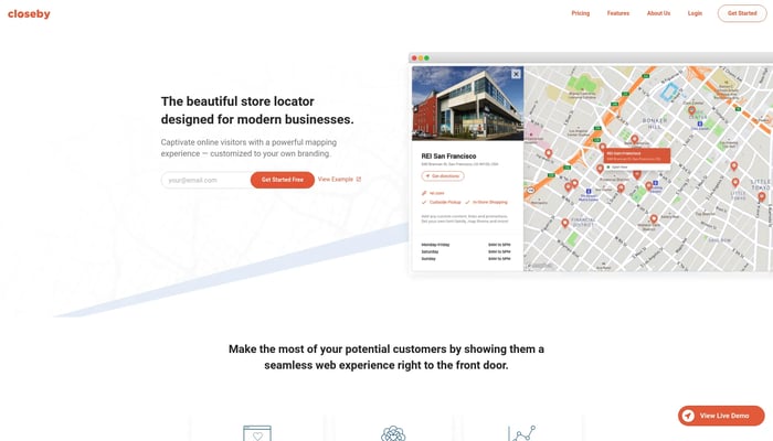

Closeby
A store locator map for your brand
Store Locator
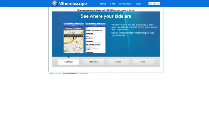
Whereoscope
Location-aware smartphone application that enables parents to keep…
Location Tracking


Polarsteps
Easily plan, track, and relive your travels
Trip Itinerary
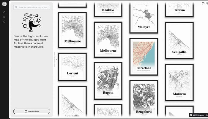

Mapster
Generate high-res city map posters
City Map Generator
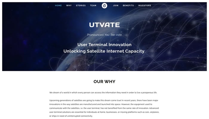

UTVATE
UNLOCKING SATELLITE INTERNET CAPACITY WITH USER TERMINAL INNOVATION
User Terminal Hardware


Jido Maps
Turn your data into a deployed computer vision model
Image to Model


Translized - AI Software Localization
Translation management made simple
AI-Powered Translation
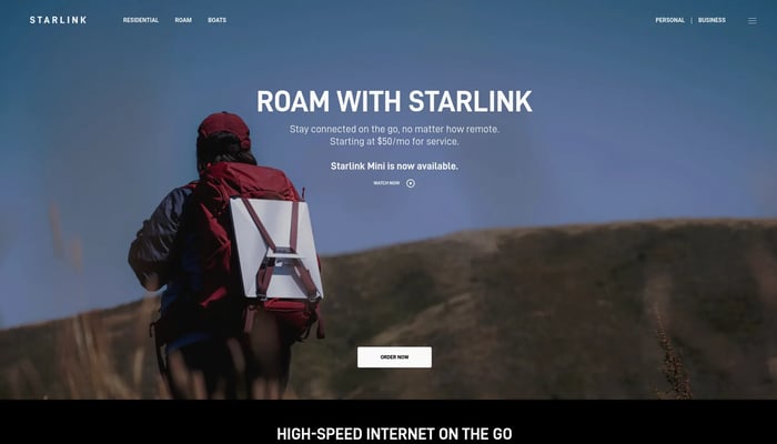

Starlink Mini
Stay connected on the go, no matter how remote
Satellite Internet
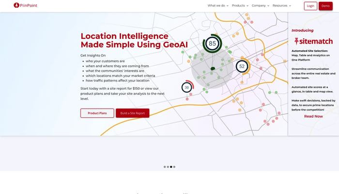

PiinPoint
PiinPoint helps businesses find the best locations for growth
Location Analytics

Basalt Tech
Autonomy in space, for every mission
Satellite Fleet Management
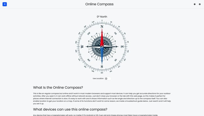

Online Compass
Direction compass in your browser
Compass Tool

Vlip
Find everything about a place with short-form videos
Text to Video

