Categories
Satellite Imagery Positioning Related Products


Roofr
Sales software for roofers. Aerial measurements + proposals in seconds
Roofing Estimates
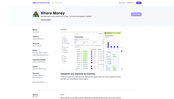

Where Money
See where your money comes from in Stripe
Stripe Analytics
RADAR
RADAR is building technology to completely transform the in-store…
Inventory Management

Kurby
Property valuation & location analysis for real estate
AI-Powered Property Valuation
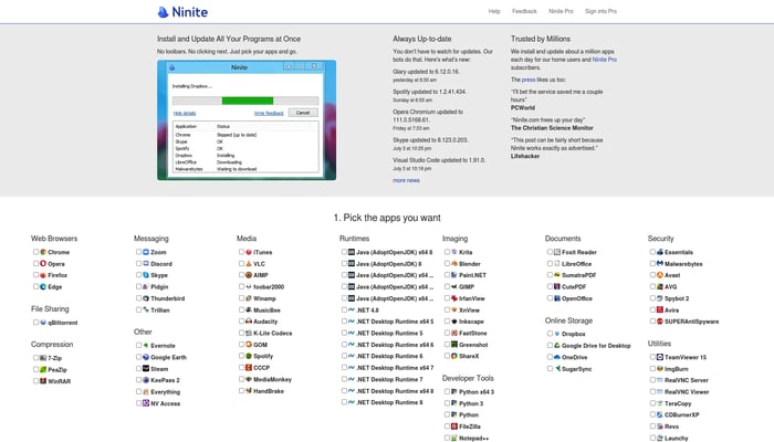

Ninite
Simple third-party app patching and deployment for Windows.
App Deployment
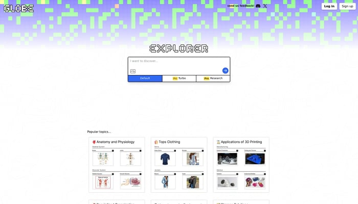
Globe Explorer
AI-powered discovery and learning engine.
AI-Powered Search
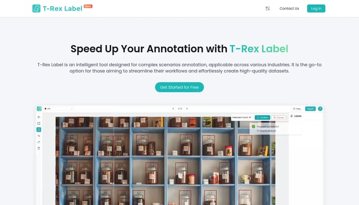

T-Rex Label
Label complex scenes with AI speed, save 99% of your time.
AI-Assisted Labeling


Instacrops
Helping farmers maximize crop yield
Farm Management Software
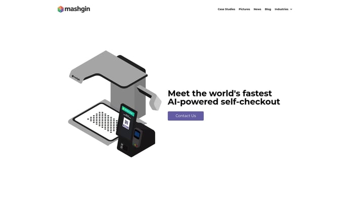

Mashgin
Self-Checkout using Computer Vision.
Computer Vision

SupPixel AI
Create stunning pixel art with AI
AI Image Generation


MedXT
Radiology in the cloud. X-rays, CAT scans, MRI's, and…
RIS (Radiology Information System)


Glasp: Easily Save and Highlight Images
Easily save and highlight important images and text
Image Highlight


ZipX
We allow anyone in South East Asia to instantly order any product…
International Shipping


Remote Nomad Jobs
100% remote jobs for digital nomads
Digital Nomad Jobs


Trueplace
Super assistant for real estate professionals.
Real Estate Automation


SkyLink
Travel Management Meets AI
AI-Powered Travel Booking

ThunderCatch
iOS App designed to capture lightning strikes automatically
Lightning Detection
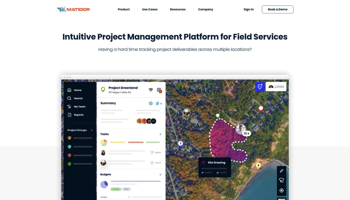

Matidor.com
Project management on a live map
Map-Based Project Management
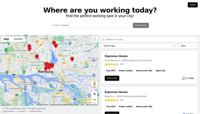

SpotFinder
Find your perfect cafe workspace, anywhere.
Cafe Finder


Sscopy
See microscopic detail with unparalleled clarity and depth.
Microscopy Images
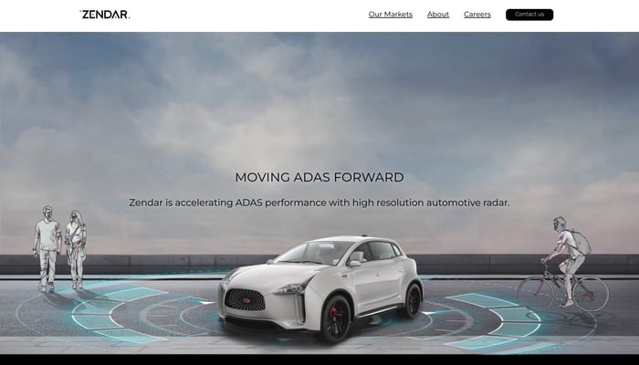

Zendar
We make high definition radar allowing self-driving cars to see in…
High-Definition Radar


FreePhotoAI
Create Professional photos with AI
AI Image Enhancement
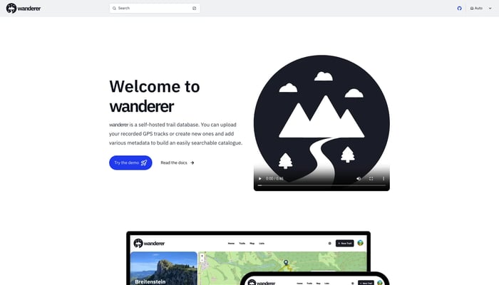

wanderer
Save your adventures!
GPS Tracking


Zensors
Google Analytics for the physical world
Capacity Management


edgetrace
Real-world video understanding models
Semantic Search


Avion
Avion builds and operates autonomous eVTOL drones that deliver vital…
Drone Delivery

Whisker Tracker
Track your cat sightings with kitty facial recognition
Cat Facial Recognition


Leica LUX
ProRAW Manual Camera Controls
Image Enhancement
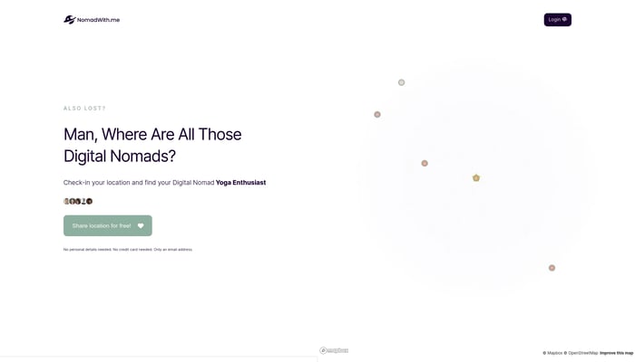

NomadWith.me
Find your digital nomad partner around your global corner
Community
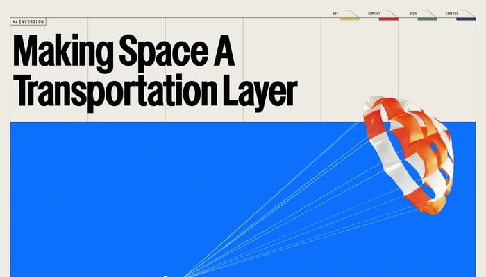

Inversion Space
Turning space into a transportation layer for Earth
Text to 3D

