Categories
Satellite Imagery Positioning Related Products


AvairSense
We go all out to Build the Smartest AI-Enabled Cameras!
AI-Enabled Cameras


Somos
Internet for the urban developing world.
Wireless Internet
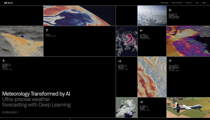

Atmo
Ultra-precise AI weather forecasting.
AI-Powered Weather Forecasts


Pixyer.AI
Transform your product photos into stunning studio-quality images.
Background Removal


imgix
The platform for your visual media.
Image Resizing
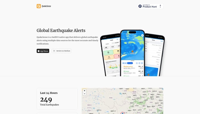

QuakeSense
A minimalist native iOS app for earthquake alerts
Earthquake Alerts
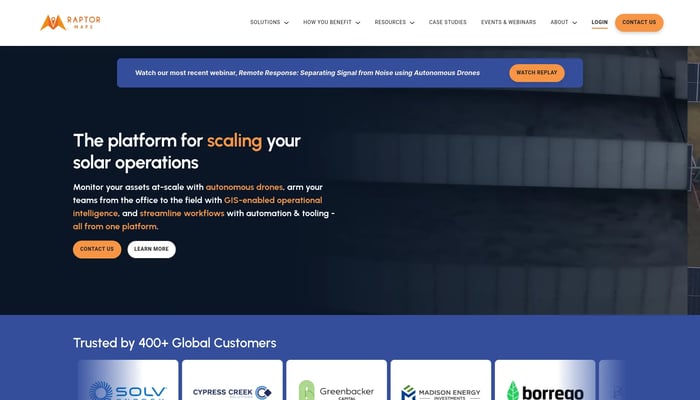
Raptor Maps
Raptor Maps builds software to manage the solar PV lifecycle.
Solar Energy Management


Fewsats
The easiest way to deploy and charge for your products
Monetization
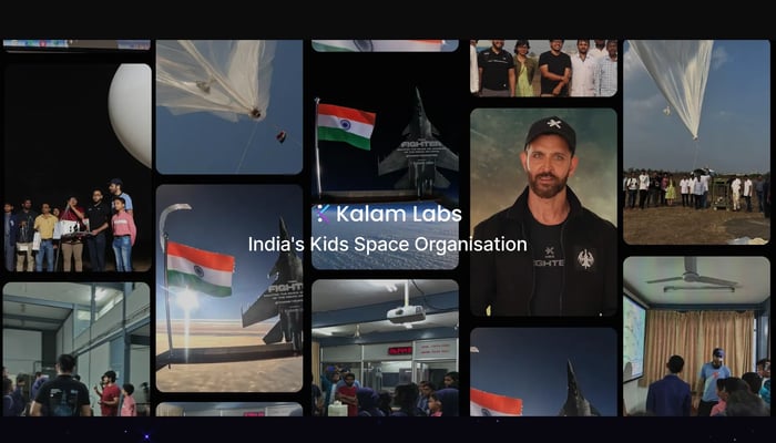

Kalam Labs
India's Kids Space Organization
Space Exploration


Static Website Hosting
Streamlined hosting for fast, secure, and easily managed static websites.
Drag and Drop Deployment

Herodot
Explore the world with your personal AI-powered guide.
AI-powered Travel Guide


Renamify
AI-powered photo renaming & organization
Photo Renaming
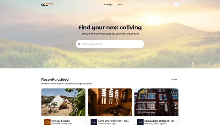
The Coliving List
A curated list of coliving spaces for digital nomads
Digital Nomad Resources

PhotoSolve
Scan, solve, and learn from any question.
AI-Powered Learning


Bucket Robotics
Robotic Vision for Manufacturing
3D Object Recognition


Roamless
Global data without the hassle. Stay connected anywhere.
Global eSIM


Precip
High precision AI weather models
Hyperlocal Weather Data


Tule
Help farmers make irrigation decisions with sensors / computer vision
Crop Water Stress Monitoring

Paralino
End-to-end encrypted location sharing
End-to-End Encryption
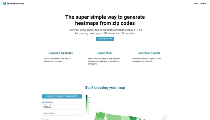

Zipcode Heat Map
Generate heat maps of US states and counties from zip codes
Sales Analytics


StatusSight
Real-time outage alerts for the services you rely on
Service Outage Detection


Epsilon3
The OS for spacecraft and complex operations
Spacecraft Testing Automation

PicLumen
Pic the future: Free AI images in one click
Text to Image

Icinga
Gain complete control over your infrastructure with powerful monitoring.
Infrastructure Monitoring

Freepik Background Remover
Erase the background from your images effortlessly.
Background Removal


World Explorer by Insured Nomads
Insurance meets travel tech for the work & travel revolution
Remote Work Coverage
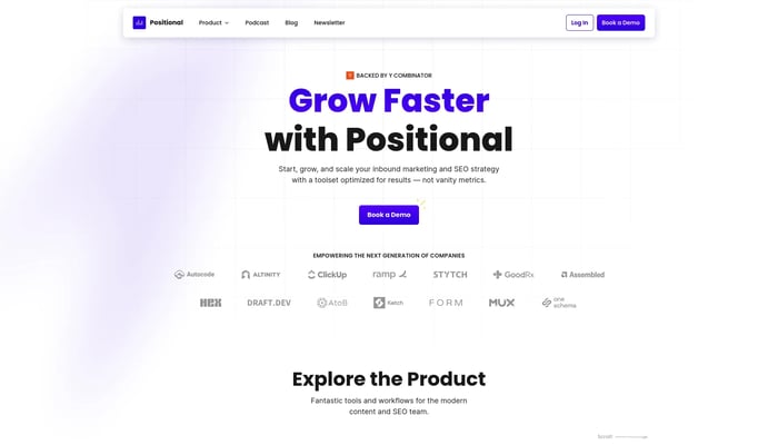

Positional
A modern platform for content marketing & SEO.
Keyword Research
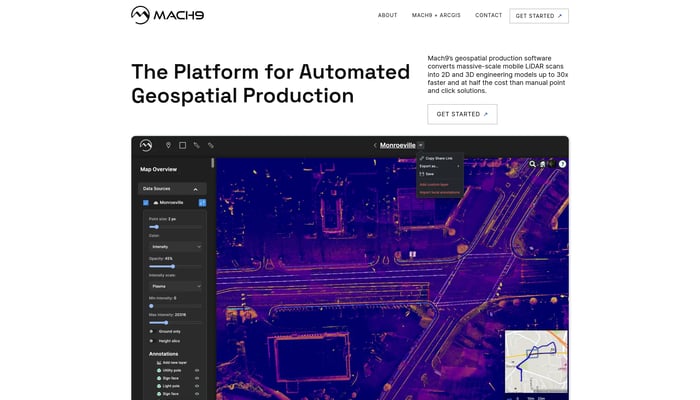

Mach9
The Fastest Tool for Automating Geospatial Production
Urban Planning
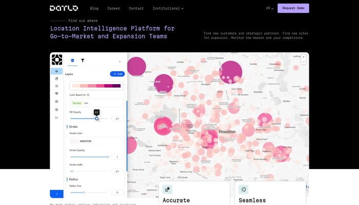

Datlo
Datlo helps companies increase sales and expand through data
Market Research


Remade
Generative AI Product Photography for Businesses
AI-Powered Product Photography

