Categories
Satellite Imaging Related Products
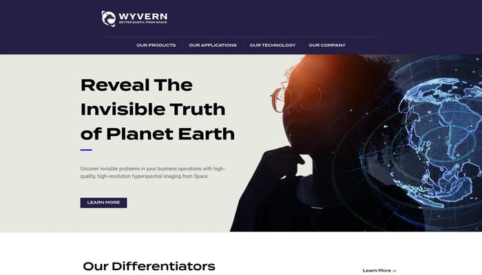

Wyvern
High-res hyperspectral pictures of Earth from space
Hyperspectral Imaging
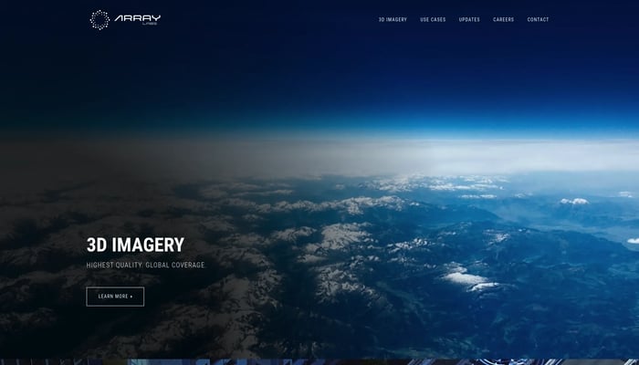

Array Labs
We're building satellites to create a real-time 3D map of the world.
Real-Time 3D Mapping
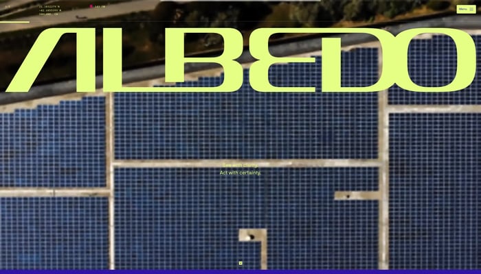

Albedo
Capturing the highest resolution satellite imagery
High-Resolution Imagery


Alba Orbital
We make satellites to image everywhere on Earth, every 15 minutes
Satellite Imagery
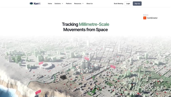

KorrAI
Tracking Millimetre-Scale Movements from Space
Land Subsidence Monitoring
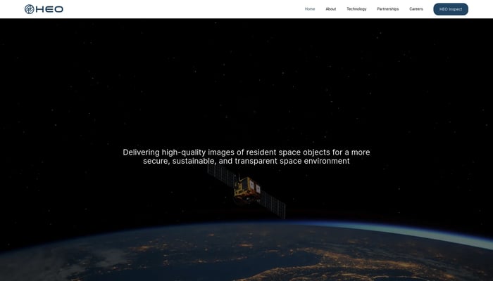

HEO Robotics
We visually monitor space objects for governments and defense
Satellite Imaging
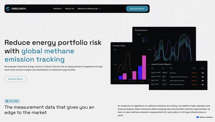

Orbio Earth
Tracking methane emissions with satellites
Satellite Data Analysis
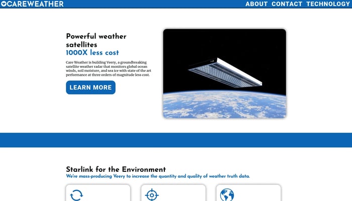

Care Weather
The highest-accuracy global weather data from low-cost flat satellites
Satellite Data Analysis


Theseus
Navigate confidently in GPS-denied zones.
Visual Navigation System


Theseus
GPS Denied Navigation for Drones
Visual Navigation
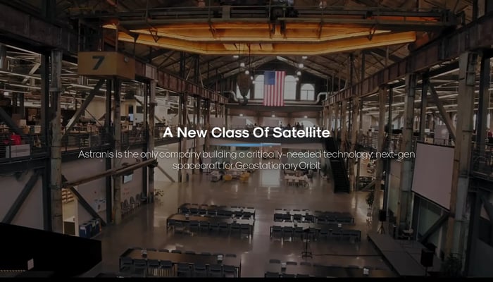

Astranis
The next generation of internet satellites.
Low Earth Orbit Satellites


DJI Air 3S
Two cameras, endless possibilities. Capture stunning travel photos with exceptional detail and dynamic range.
Dual Camera System


Tenyks
Data-Centric Co-Pilot for Computer Vision Engineers
Data Quality Management
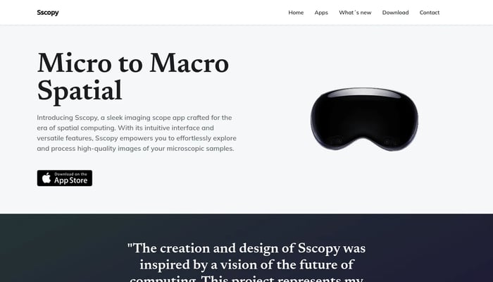

Sscopy
See microscopic detail with unparalleled clarity and depth.
Microscopy Images
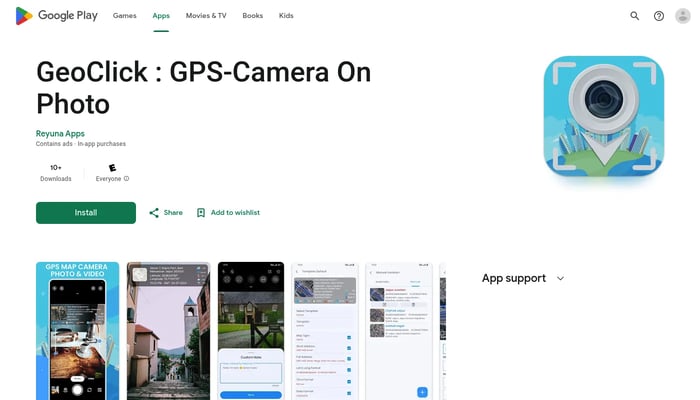

GeoClick
Capture and tag your photos with accurate GPS coordinates.
GPS Tagging

Macroscope 2
Capture the world in unprecedented detail with a dedicated macro camera for iPhone.
iPhone Microscope


DeepNight
Building The Next Generation of Night Vision Devices
AI-Powered Night Vision

Ember Robotics
Camera diagnostics for robots
Camera Diagnostics
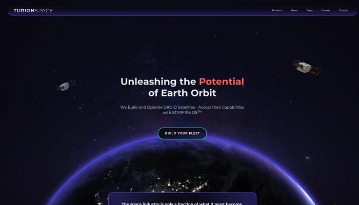

Turion Space
Moving Things Around in Space, Imaging Space Objects When We're Not
Space Debris Removal


MedXT
Radiology in the cloud. X-rays, CAT scans, MRI's, and…
RIS (Radiology Information System)


Jido Maps
Turn your data into a deployed computer vision model
Image to Model
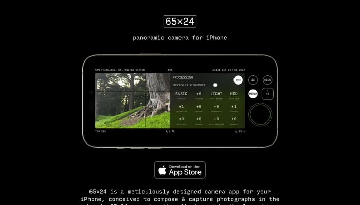

65×24
Capture panoramic photos in the iconic 65:24 aspect ratio on your iPhone.
Image to Image

Narkis
Your AI-powered personal photo studio.
Photorealistic Images


EPIC AEROSPACE
Last-mile delivery for satellites.
Satellite Deployment

AI Cam Lens
Instantly identify anything with your camera.
Image Recognition


Quindar
The platform to monitor and automate satellite operations
Satellite Fleet Management
lvl5
HD maps for self-driving cars.
Autonomous Vehicle Maps


PerceptPixel 2.0
PerceptPixel = Canva and Cloudinary on a jetplane to Milan.
Image Optimization


DigitalCarbon
Convert images and videos into immersive 3D scenes
Image to 3D


Roboflow
🖼️ Give your software the sense of sight.
Image Annotation

